2022 Map of Utica
USGS Topo · Published 2022About this map
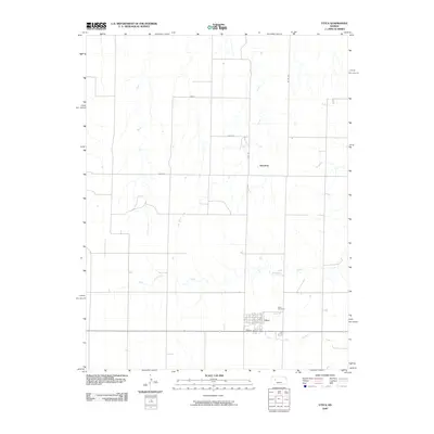
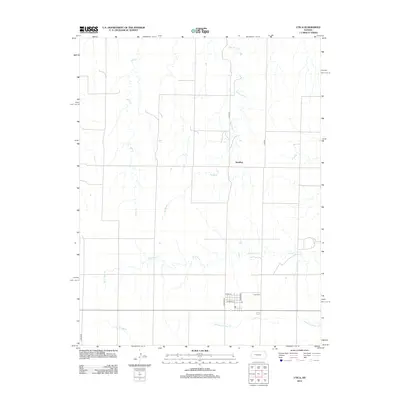
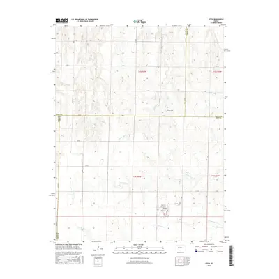
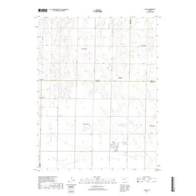
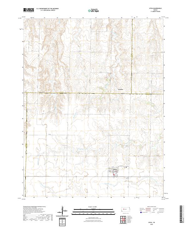
Utica serves as the primary focal point of this Western Kansas landscape, situated near the intersection of several county lines where the High Plains topography is defined by subtle drainage patterns. The town's grid is clearly delineated, featuring streets like Stanley St and Ohio Ave, with the Utica Cem located just to the east. The surrounding prairie is bisected by the intermittent waters of Big Windy Cr and Wild Horse Cr, illustrating a land where agriculture and settlement are dictated by the presence of seasonal creek beds.
Find a feature on this map
45 named features on this map. Tap any name to fly to it.
Don’t see what you’re looking for? This feature index may not catch every label — zoom into the map to look around manually.
Map Details
Editions of this 2022 Utica Map
This is the sole edition of this map. No revisions or reprints were ever made.
Historical Maps of Utica Through Time
6 maps found