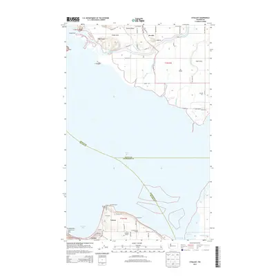
2014 Map of Utsalady
USGS Topo · Published 2014About this map
The North Fork Skagit River winds through the fertile alluvial plains of the Skagit Delta, defining the agricultural and maritime character of this Puget Sound landscape. This coastal environment is marked by numerous sloughs and islands, including the distinctive Fir Island and Camano Island. The mapping captures a network of rural settlements and shore-based communities, from the small inland hamlet of Rexville to the waterfront developments at Utsalady and Arrowhead Beach.
Find a feature on this map
67 named features on this map. Tap any name to fly to it.
Don’t see what you’re looking for? This feature index may not catch every label — zoom into the map to look around manually.
Map Details
Editions of this 2014 Utsalady Map
This is the sole edition of this map. No revisions or reprints were ever made.
Other maps of this area
1911 · Mount Vernon
USGS Topo · 1:125,000
1939 · Coupeville
USGS Topo · 1:62,500
1940 · Mt Vernon
USGS Topo · 1:62,500
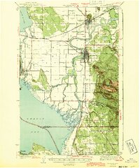
1943 · Mt Vernon
USGS Topo · 1:62,500
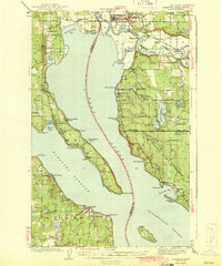
1943 · Stanwood
USGS Topo · 1:62,500
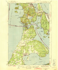
1943 · Deception Pass
USGS Topo · 1:62,500
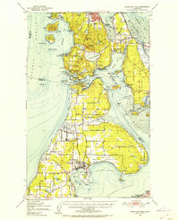
1951 · Deception Pass
USGS Topo · 1:62,500
1953 · Camano
USGS Topo · 1:24,000
1956 · Stanwood
USGS Topo · 1:24,000
1956 · Utsalady
USGS Topo · 1:24,000