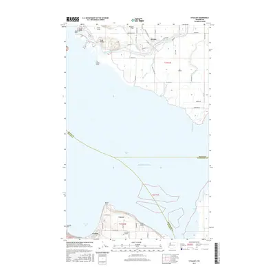
2017 Map of Utsalady
USGS Topo · Published 2017About this map
Utsalady and the northern tip of Camano Island anchor the southern reach of this coastal landscape where the Skagit delta meets Puget Sound. The intricate waterway network of the North Fork Skagit River creates a complex geography of islands and sloughs, including Fir Island, Hall Slough, and Browns Slough. To the north, Pleasant Ridge overlooks Dodge Valley and the small settlement of Rexville.
Find a feature on this map
47 named features on this map. Tap any name to fly to it.
Don’t see what you’re looking for? This feature index may not catch every label — zoom into the map to look around manually.
Map Details
Editions of this 2017 Utsalady Map
This is the sole edition of this map. No revisions or reprints were ever made.
Other maps of this area
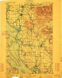
1911 · Mount Vernon
USGS Topo · 1:125,000
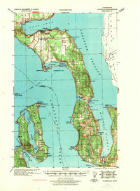
1939 · Coupeville
USGS Topo · 1:62,500
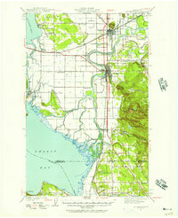
1940 · Mt Vernon
USGS Topo · 1:62,500
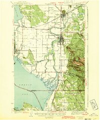
1943 · Mt Vernon
USGS Topo · 1:62,500
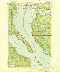
1943 · Stanwood
USGS Topo · 1:62,500
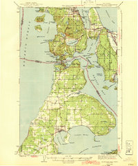
1943 · Deception Pass
USGS Topo · 1:62,500
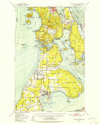
1951 · Deception Pass
USGS Topo · 1:62,500
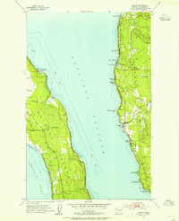
1953 · Camano
USGS Topo · 1:24,000
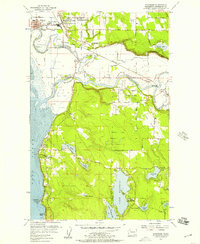
1956 · Stanwood
USGS Topo · 1:24,000
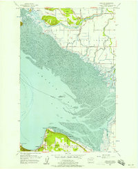
1956 · Utsalady
USGS Topo · 1:24,000