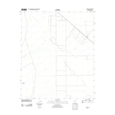
2011 Map of Utting
USGS Topo · Published 2011About this map
Bouse Wash winds through the arid landscape of La Paz County, carving a path across a grid of rural roads and desert terrain. This 2011 survey captures the area around the settlement of Utting, where the built environment is defined by agricultural footprints and long straightaways like Avenue 41 E and Avenue 42 E. The northwestern corner features the distinct clearing of Haynes Farm, a localized pocket of cultivation in an otherwise sparsely populated region.
Find a feature on this map
13 named features on this map. Tap any name to fly to it.
Don’t see what you’re looking for? This feature index may not catch every label — zoom into the map to look around manually.
Map Details
Editions of this 2011 Utting Map
This is the sole edition of this map. No revisions or reprints were ever made.
Other maps of this area

1930 · Linskey
USGS Topo · 1:62,500

1942 · Blythe
USGS Topo · 1:250,000

1942 · Vicksburg
USGS Topo · 1:250,000

1954 · Salton Sea
USGS Topo · 1:250,000

1954 · Phoenix
USGS Topo · 1:250,000

1955 · Salton Sea
USGS Topo · 1:250,000

1957 · Phoenix
USGS Topo · 1:250,000

1958 · Phoenix
USGS Topo · 1:250,000

1959 · Salton Sea
USGS Topo · 1:250,000

1960 · Phoenix
USGS Topo · 1:250,000