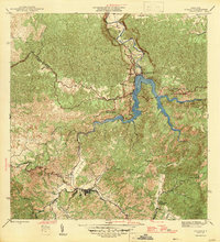
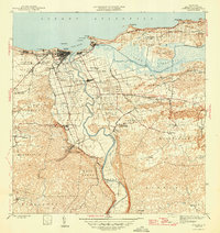
1946 Map of Utuado
USGS Topo · Published 1946About this map
Utuado serves as the central hub of this mid-1940s landscape, where the confluence of the Rio Grande and Rio Vivi dictates the valley's settlement patterns. The map highlights a significant era of infrastructure and utility growth, dominated by the newly formed Lago Dos Bocas reservoir and its associated Planta Hidroelectrica. This hydroelectric development transformed the steep river valleys of the Río Grande de Arecibo and its tributaries, including Rio Caonillas and Rio Limon, into a massive water resource network.
Find a feature on this map
24 named features on this map. Tap any name to fly to it.
Don’t see what you’re looking for? This feature index may not catch every label — zoom into the map to look around manually.
Map Details
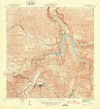
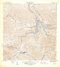
Editions of this 1946 Utuado Map
3 editions found
Other maps of this area
1938 · Camuy
USGS Topo · 1:20,000
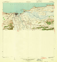
1942 · Arecibo
USGS Topo · 1:30,000
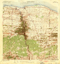
1942 · Camuy
USGS Topo · 1:30,000
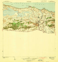
1942 · Barceloneta
USGS Topo · 1:30,000
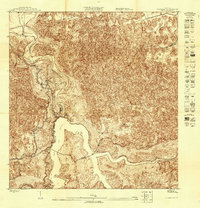
1943 · Utuado NE
USGS Topo · 1:10,000
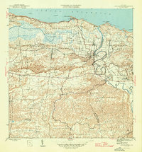
1946 · Barceloneta
USGS Topo · 1:30,000
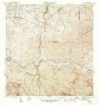
1946 · Bayaney
USGS Topo · 1:30,000
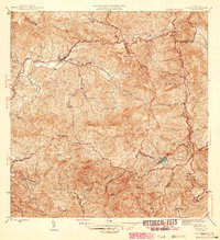
1946 · Jayuya
USGS Topo · 1:30,000
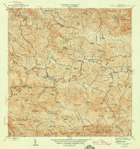
1946 · Monte Guilarte
USGS Topo · 1:30,000
1946 · Arecibo
USGS Topo · 1:30,000