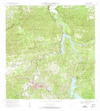
1972 Map of Utuado
USGS Topo · Published 1974About this map
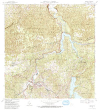
Utuado sits at the heart of this inland landscape, where the confluence of the Rio Viví and the Rio Grande de Arecibo shapes the local geography. The map documents the extensive water management infrastructure of the early 1970s, notably featuring the massive Lago Dos Bocas and Lago Caonillas. These reservoirs were central to the area's development, supported by facilities like the Central Hidroelectrica and Planta de Tratamiento de Aguas Negras.
Find a feature on this map
64 named features on this map. Tap any name to fly to it.
Don’t see what you’re looking for? This feature index may not catch every label — zoom into the map to look around manually.
Map Details
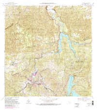
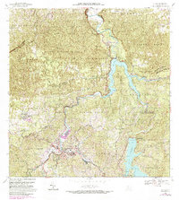
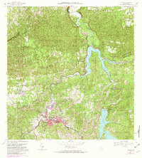
Editions of this 1972 Utuado Map
5 editions found
Other maps of this area
1938 · Camuy
USGS Topo · 1:20,000
1942 · Arecibo
USGS Topo · 1:30,000
1942 · Camuy
USGS Topo · 1:30,000
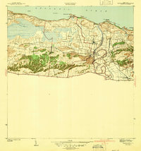
1942 · Barceloneta
USGS Topo · 1:30,000
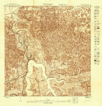
1943 · Utuado NE
USGS Topo · 1:10,000
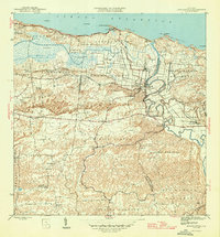
1946 · Barceloneta
USGS Topo · 1:30,000
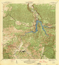
1946 · Utuado
USGS Topo · 1:30,000
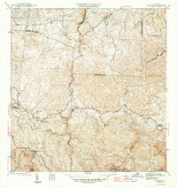
1946 · Bayaney
USGS Topo · 1:30,000
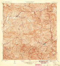
1946 · Jayuya
USGS Topo · 1:30,000
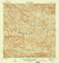
1946 · Monte Guilarte
USGS Topo · 1:30,000