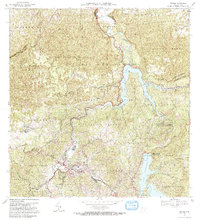
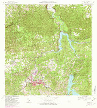
1972 Map of Utuado
USGS Topo · Published 1982About this map
Lago Dos Bocas and Lago Caonillas dominate this mid-20th-century landscape, where the confluence of the Rio Grande de Arecibo and its tributaries powers the Central Hidroelectrica. The urban center of Utuado sits at the foot of steep terrain, featuring established landmarks like the Parque Atletico and the Tanque de Agua. The surrounding hillsides are divided into distinct barrios such as Sabana Grande and Vivi Abajo, revealing a pattern of rural settlement tied to the land. Significant agricultural and social history is preserved in labels for the Hacienda Carbonell, Campamento Radley, and the Bosque Estatal de Rio Abajo. Local spiritual life is marked by the Iglesia San Pascual and Iglesia Santa Maria del Monte Carmelo, which serve as anchors for their respective communities amid the winding mountain roads.
Find a feature on this map
65 named features on this map. Tap any name to fly to it.
Don’t see what you’re looking for? This feature index may not catch every label — zoom into the map to look around manually.
Map Details
Editions of this 1972 Utuado Map
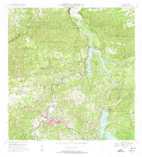
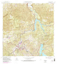
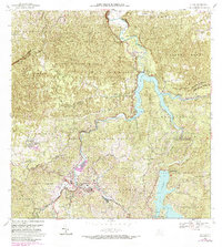
5 editions found
Other maps of this area

1938 · Camuy
USGS Topo · 1:20,000

1942 · Arecibo
USGS Topo · 1:30,000

1942 · Camuy
USGS Topo · 1:30,000

1942 · Barceloneta
USGS Topo · 1:30,000

1943 · Utuado NE
USGS Topo · 1:10,000

1946 · Barceloneta
USGS Topo · 1:30,000

1946 · Utuado
USGS Topo · 1:30,000

1946 · Bayaney
USGS Topo · 1:30,000

1946 · Jayuya
USGS Topo · 1:30,000

1946 · Monte Guilarte
USGS Topo · 1:30,000