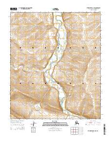
2014 Map of Utukok River B-2 NW
USGS Topo · Published 2014About this map
Utukok River dominates this section of the Arctic slope, carving a wide valley through the high tundra as it flows northward. This 2014 topographic survey captures the intricate drainage patterns of the region, where the Ketik River and the small tributary of Elusive Cr join the main channel. The landscape is defined by its hydrology, with countless small oxbows and ephemeral ponds marking the shifting path of the river through the permafrost. The United States Geological Survey mapping also delineates the extensive township and range boundaries, including t2n r34w, providing a clear spatial framework for this undeveloped portion of the North Slope Borough. This map serves as a precise record of the hydrological network and elevation contours before any significant infrastructure or modern development reached this part of the Alaskan wilderness.
Find a feature on this map
9 named features on this map. Tap any name to fly to it.
Don’t see what you’re looking for? This feature index may not catch every label — zoom into the map to look around manually.
Map Details
Editions of this 2014 Utukok River B-2 NW Map
This is the sole edition of this map. No revisions or reprints were ever made.
Other maps of this area

1951 · Utukok River
USGS Topo · 1:250,000
1955 · Utukok River C-3
USGS Topo · 1:63,360
1955 · Utukok River B-3
USGS Topo · 1:63,360

1956 · Utukok River
USGS Topo · 1:250,000

1965 · Utukok River
USGS Topo · 1:250,000
1984 · Utukok River C-2
USGS Topo · 1:63,360
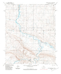
1985 · Utukok River B-2
USGS Topo · 1:63,360
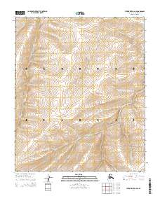
2014 · Utukok River C-2 SE
USGS Topo · 1:25,000
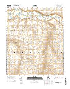
2014 · Utukok River C-3 SE
USGS Topo · 1:25,000
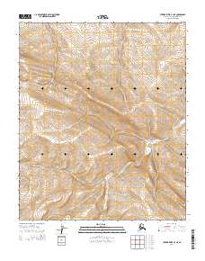
2014 · Utukok River B-3 NE
USGS Topo · 1:25,000