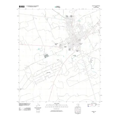
2010 Map of Uvalde
USGS Topo · Published 2010About this map
The Leona River and its accompanying sloughs anchor this South Texas landscape as it appeared in the early 21st century. The city of Uvalde serves as the regional hub, surrounded by several residential developments including North Uvalde Colonia, Vanham Addition Colonia, and Uvalde Estates. These colonias represent a distinct pattern of settlement and land use common in the borderlands, often characterized by rapid growth outside traditional municipal limits.
Find a feature on this map
55 named features on this map. Tap any name to fly to it.
Don’t see what you’re looking for? This feature index may not catch every label — zoom into the map to look around manually.
Map Details
Editions of this 2010 Uvalde Map
This is the sole edition of this map. No revisions or reprints were ever made.
Other maps of this area

1898 · Uvalde
USGS Topo · 1:125,000

1899 · Uvalde
USGS Topo · 1:125,000

1954 · San Antonio
USGS Topo · 1:250,000

1957 · San Antonio
USGS Topo · 1:250,000
1960 · Hacienda
USGS Topo · 1:24,000
1960 · Chalk Bluff
USGS Topo · 1:24,000

1960 · Pulliam Ranch
USGS Topo · 1:24,000
1960 · Sand Mountain
USGS Topo · 1:24,000
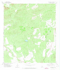
1971 · Sevenmile Hill
USGS Topo · 1:24,000
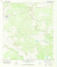
1971 · Garner Field
USGS Topo · 1:24,000