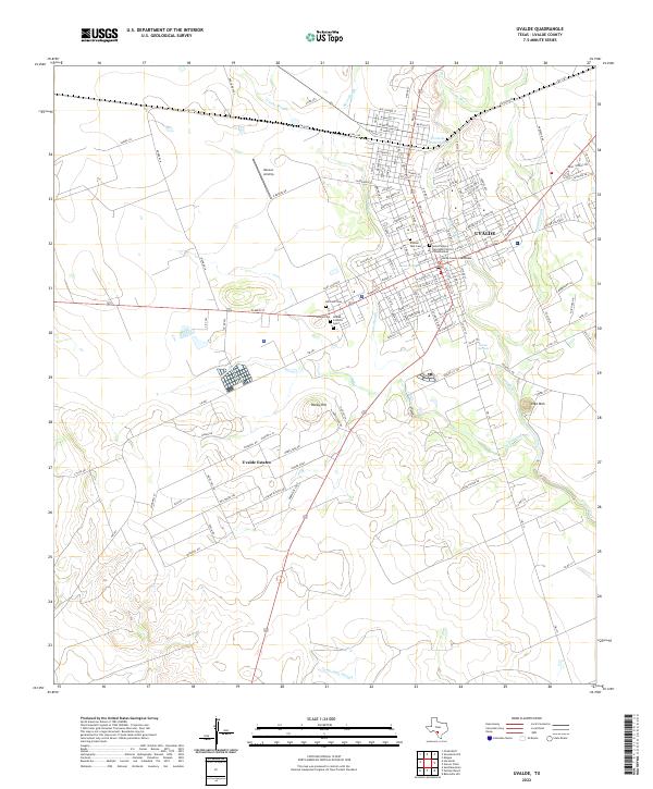
2022 Map of Uvalde
USGS Topo · Published 2022About this map
Uvalde serves as a major South Texas junction, where the historic core radiates from the Uvalde County Courthouse into a grid of residential streets and civic institutions. The landscape is defined by the winding course of the Leona River and several significant sloughs, including Cooks Slough and Boon Slough. These waterways provided critical resources for the town's development in this semi-arid region. Local heritage is concentrated in several large burial grounds on the western edge of the city, such as Hillcrest Cem, Uvalde Cem, and the Uvalde Catholic Cem. To the south, the newer development of Uvalde Estates represents the modern expansion of the community. Topographical landmarks like Inge Mtn and Rocky Hill punctuate the terrain, while the Saint Phillips Episcopal Church Columbarium stands as a notable religious landmark near the center of town.
Find a feature on this map
87 named features on this map. Tap any name to fly to it.
Don’t see what you’re looking for? This feature index may not catch every label — zoom into the map to look around manually.
Map Details
Editions of this 2022 Uvalde Map
This is the sole edition of this map. No revisions or reprints were ever made.
Other maps of this area

1898 · Uvalde
USGS Topo · 1:125,000

1899 · Uvalde
USGS Topo · 1:125,000

1954 · San Antonio
USGS Topo · 1:250,000

1957 · San Antonio
USGS Topo · 1:250,000
1960 · Hacienda
USGS Topo · 1:24,000
1960 · Chalk Bluff
USGS Topo · 1:24,000

1960 · Pulliam Ranch
USGS Topo · 1:24,000
1960 · Sand Mountain
USGS Topo · 1:24,000
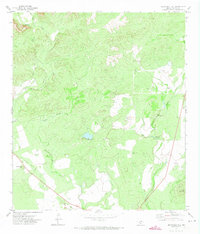
1971 · Sevenmile Hill
USGS Topo · 1:24,000
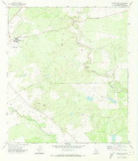
1971 · Garner Field
USGS Topo · 1:24,000