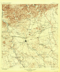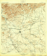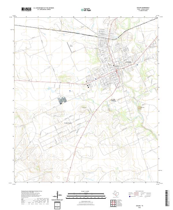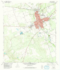
1971 Map of Uvalde
USGS Topo · Published 1992About this map
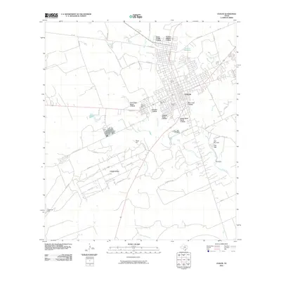
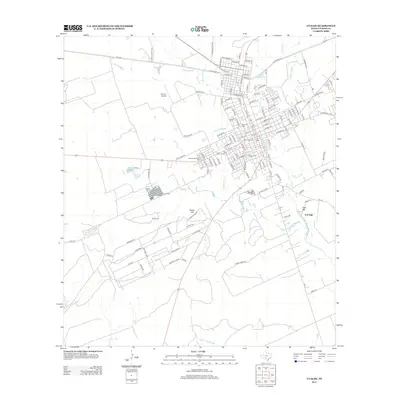
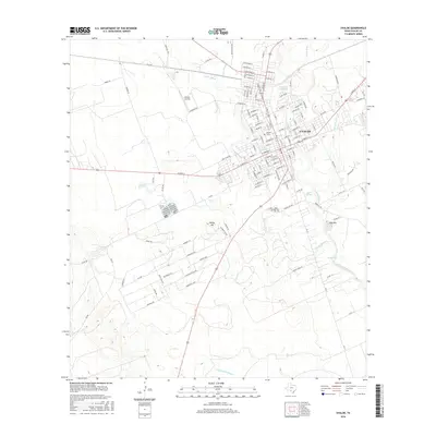
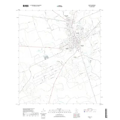
Uvalde serves as the focal point of this 1970s landscape, where the town’s grid is defined by streets like Pecos St and Main St. The map illustrates a community well-equipped with social and educational infrastructure, from the Honey Bowl Stadium and Memorial Hospital to numerous local schools like Robb Sch and Anthon Sch. Outside the residential core, the land reveals a mix of natural waterways and industrial legacies. The Leona River and Cooks Slough snake through the terrain, while the Old Railroad Grade and the Uvalde Test Track point to the area's transportation and commercial history. Local heritage is further anchored by Fort Inge County Park near Inge Mtn, and the sprawling Uvalde National Fish Hatchery to the southwest, highlighting the specialized land use in this part of Uvalde County.
Find a feature on this map
46 named features on this map. Tap any name to fly to it.
Don’t see what you’re looking for? This feature index may not catch every label — zoom into the map to look around manually.
Map Details
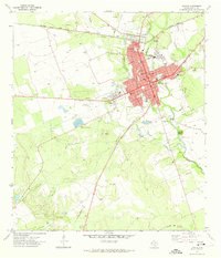
Editions of this 1971 Uvalde Map
2 editions found
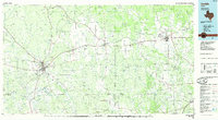
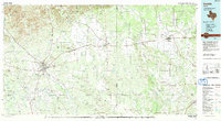
Historical Maps of Uvalde Through Time
10 maps found