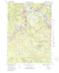
1969 Map of Uxbridge
USGS Topo · Published 1988About this map
Industrial villages and water-powered history define this section of the Blackstone Valley, where the Mumford River and West River meet the Blackstone River. The landscape is dominated by textile-era infrastructure, featuring numerous mill ponds such as Whitins Pond, Lackey Pond, and Rivulet Pond. The Providence & Worcester RR serves as a central artery for the region, passing through East Douglas Station and linking the settlements of Whitinville, Linwood, and Uxbridge. This 1960s revision captures the area as modern growth began to overlay its deep industrial roots, visible in the cluster of institutions like St Camillus Hospital and the development near Plummer Corner. Away from the river valleys, the terrain rises into the Sutton State Forest and the curious geological formations of Castle Caves, while the southern border tracks the boundary with Burrillville and the Black Hut State Management Area.
Find a feature on this map
102 named features on this map. Tap any name to fly to it.
Don’t see what you’re looking for? This feature index may not catch every label — zoom into the map to look around manually.
Map Details
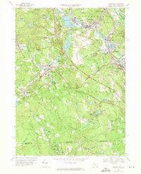
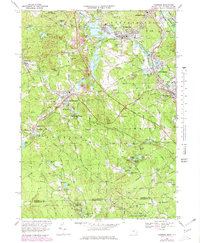
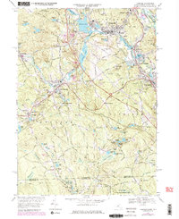
Editions of this 1969 Uxbridge Map
4 editions found
Other maps of this area

1886 · Blackstone
USGS Topo · 1:62,500

1889 · Blackstone
USGS Topo · 1:62,500

1889 · Webster
USGS Topo · 1:62,500

1889 · Putnam
USGS Topo · 1:62,500

1889 · Burrillville
USGS Topo · 1:62,500

1892 · Webster
USGS Topo · 1:62,500

1893 · Putnam
USGS Topo · 1:62,500

1893 · Blackstone
USGS Topo · 1:62,500

1894 · Burrillville
USGS Topo · 1:62,500

1900 · Blackstone
USGS Topo · 1:62,500