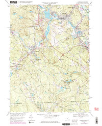
1969 Map of Uxbridge
USGS Topo · Published 1979About this map
The Blackstone River and Mumford River valleys define the industrial and residential corridors of this region during the late 1960s. Dense settlement patterns are visible in Whitinsville and Uxbridge, where mill-pond networks like Whitins Pond and Linwood Pond reflect the area’s manufacturing history. The transit infrastructure of the Providence and Worcester RR connects these hubs, with the East Douglas Station serving as a key point in the neighboring town of Douglas.
Find a feature on this map
112 named features on this map. Tap any name to fly to it.
Don’t see what you’re looking for? This feature index may not catch every label — zoom into the map to look around manually.
Map Details
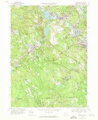
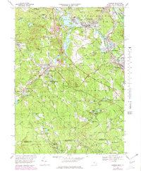
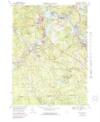
Editions of this 1969 Uxbridge Map
4 editions found
Other maps of this area

1886 · Blackstone
USGS Topo · 1:62,500

1889 · Blackstone
USGS Topo · 1:62,500

1889 · Webster
USGS Topo · 1:62,500

1889 · Putnam
USGS Topo · 1:62,500

1889 · Burrillville
USGS Topo · 1:62,500

1892 · Webster
USGS Topo · 1:62,500

1893 · Putnam
USGS Topo · 1:62,500

1893 · Blackstone
USGS Topo · 1:62,500

1894 · Burrillville
USGS Topo · 1:62,500

1900 · Blackstone
USGS Topo · 1:62,500