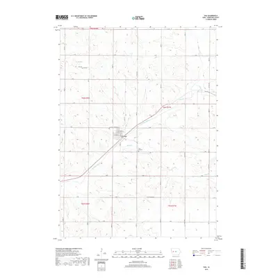
2018 Map of Vail
USGS Topo · Published 2018About this map
The East Boyer River cuts a diagonal path through this section of Crawford County, shaping the landscape around the town of Vail. This 2018 survey documents a region defined by its waterway network, including Miller Cr, Hay Cr, and King Cr, which feed the river valley. The town of Vail serves as the central hub, with a street grid featuring names like Morris St and Atlantic St. For local historians and genealogists, the map identifies three significant burial sites: Saint Anns Cem located south of the main settlement, Vail Cem to the northwest, and King Cem tucked near Rocky Run in the northern hills. The landscape is interconnected by a rigid township and range system, with rural life organized along roads such as Co Hwy M55 and Westside Ave.
Find a feature on this map
40 named features on this map. Tap any name to fly to it.
Don’t see what you’re looking for? This feature index may not catch every label — zoom into the map to look around manually.
Map Details
Editions of this 2018 Vail Map
This is the sole edition of this map. No revisions or reprints were ever made.
Other maps of this area

1954 · Omaha
USGS Topo · 1:250,000

1954 · Fort Dodge
USGS Topo · 1:250,000

1957 · Omaha
USGS Topo · 1:250,000

1957 · Fort Dodge
USGS Topo · 1:250,000

1958 · Omaha
USGS Topo · 1:250,000

1958 · Fort Dodge
USGS Topo · 1:250,000

1971 · Earling NE
USGS Topo · 1:24,000

1971 · Denison
USGS Topo · 1:24,000

1971 · Kiron
USGS Topo · 1:24,000

1978 · Manilla
USGS Topo · 1:24,000