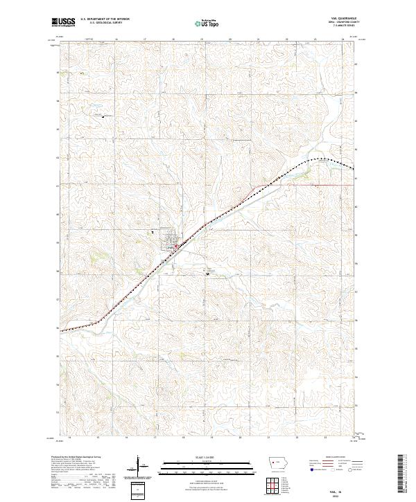
2022 Map of Vail
USGS Topo · Published 2022About this map
Vail sits at the heart of this Crawford County landscape, where the East Boyer River and its numerous tributaries like Rocky Run and King Cr have carved a rolling drainage pattern through the Iowa prairie. The layout of the town is defined by a grid of streets including Hunterdon St and Atlantic St, bordered by the railway corridor that follows the river valley. For genealogists and local historians, the presence of several burial grounds such as Saint Anns Cem and Vail Cem near the town center, along with King Cem to the northwest, provides clear reference points for family research. The surrounding countryside is organized by a meticulous network of gravel roads and avenues, such as G Ave and 380th St, reflecting the persistent section-line geometry of the state's agricultural heritage.
Find a feature on this map
42 named features on this map. Tap any name to fly to it.
Don’t see what you’re looking for? This feature index may not catch every label — zoom into the map to look around manually.
Map Details
Editions of this 2022 Vail Map
This is the sole edition of this map. No revisions or reprints were ever made.
Other maps of this area

1954 · Omaha
USGS Topo · 1:250,000

1954 · Fort Dodge
USGS Topo · 1:250,000

1957 · Omaha
USGS Topo · 1:250,000

1957 · Fort Dodge
USGS Topo · 1:250,000

1958 · Omaha
USGS Topo · 1:250,000

1958 · Fort Dodge
USGS Topo · 1:250,000

1971 · Earling NE
USGS Topo · 1:24,000

1971 · Denison
USGS Topo · 1:24,000

1971 · Kiron
USGS Topo · 1:24,000

1978 · Manilla
USGS Topo · 1:24,000