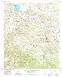
1953 Map of Vail Lake
USGS Topo · Published 1988About this map
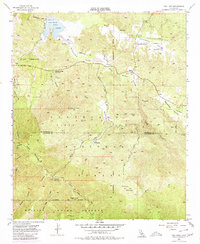
Vail Lake sits at the northern edge of this landscape, its waters controlled by a spillway where Temecula Creek exits. This 1953 survey, updated with 1980s data, illustrates the transition from the arid valleys of Butterfield Valley and Lancaster Valley into the high, protected reaches of the Cleveland National Forest. The map documents a sparse but significant human footprint, from the Crosley Homestead and Crosley Saddle to the Radec Cem and Cottonwood School.
Find a feature on this map
35 named features on this map. Tap any name to fly to it.
Don’t see what you’re looking for? This feature index may not catch every label — zoom into the map to look around manually.
Map Details
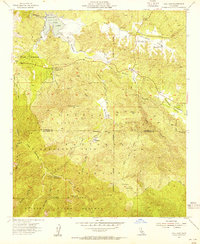
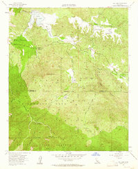
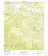
Editions of this 1953 Vail Lake Map
7 editions found
Other maps of this area

1901 · Southern California Sheet No. 1
USGS Topo · 1:250,000

1901 · San Jacinto
USGS Topo · 1:125,000

1901 · Elsinore
USGS Topo · 1:125,000

1901 · San Luis Rey
USGS Topo · 1:125,000

1903 · Ramona
USGS Topo · 1:125,000

1904 · Southern California Sheet No. 2
USGS Topo · 1:250,000

1904 · Southern California Sheet No. 1
USGS Topo · 1:250,000

1939 · Palomar Mountain
USGS Topo · 1:62,500

1942 · Temecula
USGS Topo · 1:62,500

1942 · Hemet
USGS Topo · 1:62,500