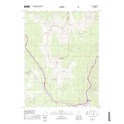
2019 Map of Vail Pass
USGS Topo · Published 2019About this map
Vail Pass serves as the central high-altitude hub for this portion of the White River National Forest, where the mountain corridors of the Gore Range and Tenmile Range converge. In the late 2010s, this area is defined by a dense network of recreational paths and alpine trails, such as the Vail - Frisco Rec Path and the Gore Range Trail, which navigate the steep transition from the Wheeler Flats valley floor to peaks like Uneva Peak and Buffalo Mtn. The settlement at Wheeler Junction marks a significant waypoint for modern travelers at the base of these ranges.
Find a feature on this map
59 named features on this map. Tap any name to fly to it.
Don’t see what you’re looking for? This feature index may not catch every label — zoom into the map to look around manually.
Map Details
Editions of this 2019 Vail Pass Map
This is the sole edition of this map. No revisions or reprints were ever made.
Other maps of this area

1889 · Leadville
USGS Topo · 1:125,000

1891 · Leadville
USGS Topo · 1:125,000

1929 · Dillon
USGS Topo · 1:62,500

1934 · Climax
USGS Topo · 1:48,000

1934 · Minturn
USGS Topo · 1:62,500

1934 · Dillon
USGS Topo · 1:62,500

1938 · Mt. Lincoln
USGS Topo · 1:48,000

1942 · Leadville
USGS Topo · 1:125,000

1945 · Mount Lincoln
USGS Topo · 1:62,500

1949 · Holy Cross
USGS Topo · 1:62,500