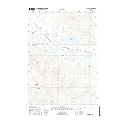
2016 Map of Valdez A-6 SW
USGS Topo · Published 2016About this map
Valdez Pioneer Cem and Valdez Memorial Cem sit at the northern edge of this coastal Alaskan landscape, where the Robe River flows toward the complex delta systems of the Lowe River. The area is a critical corridor for infrastructure, dominated by the path of the Alaska Pipeline as it skirts the southern base of mountain features like Mt Francis and traverses the lowlands near Robe Lake.
Find a feature on this map
33 named features on this map. Tap any name to fly to it.
Don’t see what you’re looking for? This feature index may not catch every label — zoom into the map to look around manually.
Map Details
Editions of this 2016 Valdez A-6 SW Map
This is the sole edition of this map. No revisions or reprints were ever made.
Other maps of this area

1948 · Cordova
USGS Topo · 1:250,000

1950 · Cordova D-7
USGS Topo · 1:63,360

1951 · Cordova
USGS Topo · 1:250,000

1951 · Cordova D-6
USGS Topo · 1:63,360

1951 · Valdez A-6
USGS Topo · 1:63,360

1952 · Valdez
USGS Topo · 1:250,000

1952 · Cordova D-7
USGS Topo · 1:63,360

1952 · Valdez A-6
USGS Topo · 1:63,360

1953 · Cordova D-6
USGS Topo · 1:63,360

1959 · Cordova
USGS Topo · 1:250,000