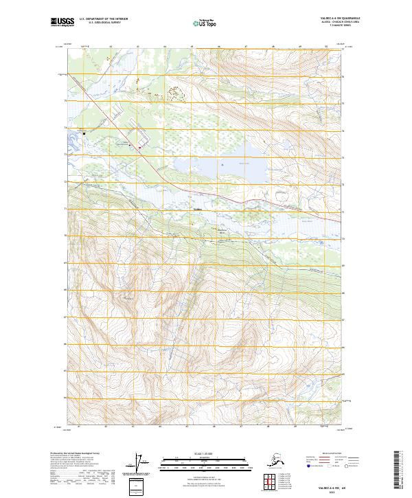
2023 Map of Valdez A-6 SW
USGS Topo · Published 2023About this map
The glacial waters of the Lowe River and Valdez Glacier Stream dominate this northern landscape, where industrial infrastructure meets the coastal wilderness. The Alaska Pipeline cuts a distinct path through the valley, running parallel to segments of the Richardson Highway and Dayville Road. This modern survey documents the expanding infrastructure around the periphery of Valdez, including the residential street network of Dylan Drive and Falcon Avenue near the base of the mountains.
Find a feature on this map
37 named features on this map. Tap any name to fly to it.
Don’t see what you’re looking for? This feature index may not catch every label — zoom into the map to look around manually.
Map Details
Editions of this 2023 Valdez A-6 SW Map
This is the sole edition of this map. No revisions or reprints were ever made.
Other maps of this area

1948 · Cordova
USGS Topo · 1:250,000

1950 · Cordova D-7
USGS Topo · 1:63,360

1951 · Cordova
USGS Topo · 1:250,000

1951 · Cordova D-6
USGS Topo · 1:63,360

1951 · Valdez A-6
USGS Topo · 1:63,360

1952 · Valdez
USGS Topo · 1:250,000

1952 · Cordova D-7
USGS Topo · 1:63,360

1952 · Valdez A-6
USGS Topo · 1:63,360

1953 · Cordova D-6
USGS Topo · 1:63,360

1959 · Cordova
USGS Topo · 1:250,000