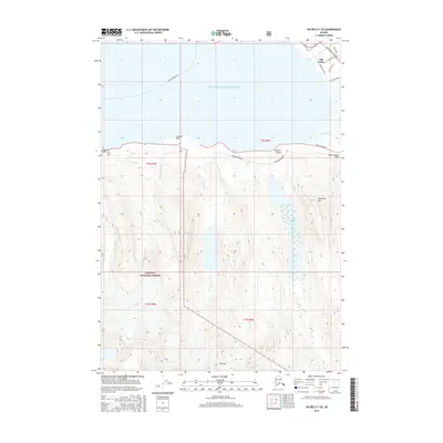
2016 Map of Valdez A-7 SE
USGS Topo · Published 2016About this map
Old Valdez sits on the northern edge of this coastal survey, where the Richardson Highway and several local streets like McKinley Street and Alaska Avenue meet the waters of Prince William Sound. The geography is defined by the steep transition from the glacial valleys of the Chugach National Forest to the sea. The modern industrial landscape is prominently marked by the Alaska Pipeline, which traverses the terrain north of Sugarloaf Mtn and Solomon Lake.
Find a feature on this map
29 named features on this map. Tap any name to fly to it.
Don’t see what you’re looking for? This feature index may not catch every label — zoom into the map to look around manually.
Map Details
Editions of this 2016 Valdez A-7 SE Map
This is the sole edition of this map. No revisions or reprints were ever made.
Other maps of this area

1948 · Cordova
USGS Topo · 1:250,000

1950 · Cordova D-7
USGS Topo · 1:63,360

1951 · Cordova
USGS Topo · 1:250,000

1951 · Cordova D-6
USGS Topo · 1:63,360

1951 · Valdez A-6
USGS Topo · 1:63,360

1952 · Valdez
USGS Topo · 1:250,000

1952 · Cordova D-7
USGS Topo · 1:63,360

1952 · Valdez A-6
USGS Topo · 1:63,360

1953 · Cordova D-6
USGS Topo · 1:63,360

1959 · Cordova
USGS Topo · 1:250,000