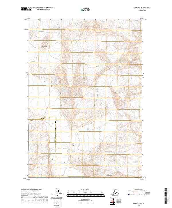
2023 Map of Valdez B-6 SW
USGS Topo · Published 2023About this map
Valdez Glacier dominates the central southern portion of this high-altitude landscape, illustrating the powerful glacial forces that shape this section of the Chugach Mountains. The map highlights three significant high points: Townsend Peak to the northwest, Mt Schrader in the central-western reaches, and Abercrombie Mtn on the southern boundary. These peaks serve as critical reference points for navigating the ice-carved topography where few other landmarks exist. This recent survey also records the administrative boundary between Chugach Co and Copper River Co, providing a precise look at modern jurisdictional lines in a region where the natural terrain remains the primary defining characteristic of the environment.
Find a feature on this map
9 named features on this map. Tap any name to fly to it.
Don’t see what you’re looking for? This feature index may not catch every label — zoom into the map to look around manually.
Map Details
Editions of this 2023 Valdez B-6 SW Map
This is the sole edition of this map. No revisions or reprints were ever made.
Other maps of this area

1951 · Valdez B-6
USGS Topo · 1:63,360

1951 · Valdez A-6
USGS Topo · 1:63,360

1952 · Valdez
USGS Topo · 1:250,000

1952 · Valdez A-6
USGS Topo · 1:63,360

1953 · Valdez B-6
USGS Topo · 1:63,360

1960 · Valdez B-7
USGS Topo · 1:63,360

1960 · Valdez A-7
USGS Topo · 1:63,360

1960 · Valdez
USGS Topo · 1:250,000
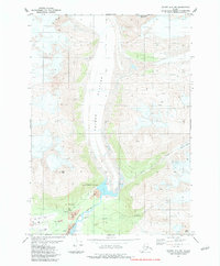
1983 · Valdez A-6 NW
USGS Topo · 1:25,000
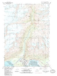
1983 · Valdez A-7 NE
USGS Topo · 1:25,000