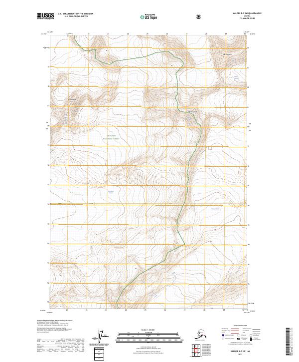
2023 Map of Valdez B-7 SW
USGS Topo · Published 2023About this map
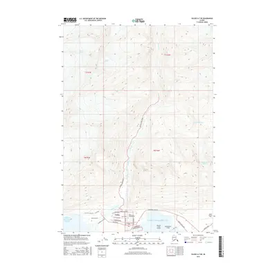
Chugach National Forest encompasses this high-altitude landscape, where massive ice fields and prominent summits dominate the topography north of the Port Valdez inlet. The glacial environment is represented by the expansive Columbia Glacier and Shoup Glacier, while a portion of the Valdez Glacier is visible in the northeastern corner of the quadrangle. These frozen rivers have historically carved the deep valleys and sharp ridges that define the region's character. High peaks like Mt Cashman, Mt Shouplina, and Lindita Peak stand as fixed markers above the moving ice. The survey detail reflects the complex nature of this coastal mountain range, mapping the precise boundaries of several townships including t6s r8w and t7s r7w. This document serves as a modern record of the glacial extent and mountain terrain in a part of Alaska where the environment is constantly shifting due to ice movement and elevation changes.
Find a feature on this map
11 named features on this map. Tap any name to fly to it.
Don’t see what you’re looking for? This feature index may not catch every label — zoom into the map to look around manually.
Map Details
Editions of this 2023 Valdez B-7 SW Map
This is the sole edition of this map. No revisions or reprints were ever made.
Other maps of this area

1952 · Valdez
USGS Topo · 1:250,000

1960 · Valdez A-8
USGS Topo · 1:63,360

1960 · Valdez B-7
USGS Topo · 1:63,360

1960 · Valdez B-8
USGS Topo · 1:63,360

1960 · Valdez A-7
USGS Topo · 1:63,360

1960 · Valdez
USGS Topo · 1:250,000
1983 · Valdez A-7 NE
USGS Topo · 1:25,000
1995 · Valdez A-8
USGS Topo · 1:63,360
1996 · Valdez A-7
USGS Topo · 1:63,360
2016 · Valdez A-7 NE
USGS Topo · 1:25,000