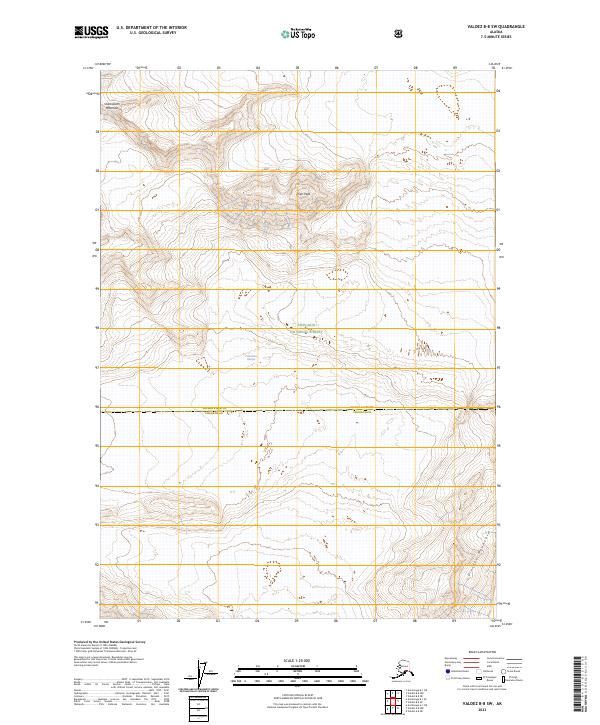
2023 Map of Valdez B-8 SW
USGS Topo · Published 2023About this map
Columbia Glacier dominates the central portion of this landscape, its massive presence carving the terrain between high peaks. This 2023 survey records the vast ice field as it interacts with the southern reaches of the Chugach National Forest. The topography is defined by the sharp verticality of Sharkstooth Mountain to the northwest and Pilot Peak near the center, while Divider Mountain rises in the southeast corner. The map also delineates the administrative boundary between Copper River and Chugach jurisdictions, which cuts horizontally across the glacial and mountainous wilderness. This document captures the modern state of one of Alaska's most significant glacial regions, providing a precise record of ice extent and mountain elevation for research and navigation.
Find a feature on this map
10 named features on this map. Tap any name to fly to it.
Don’t see what you’re looking for? This feature index may not catch every label — zoom into the map to look around manually.
Map Details
Editions of this 2023 Valdez B-8 SW Map
This is the sole edition of this map. No revisions or reprints were ever made.
Other maps of this area

1951 · Anchorage
USGS Topo · 1:250,000

1952 · Valdez
USGS Topo · 1:250,000

1960 · Valdez A-8
USGS Topo · 1:63,360

1960 · Anchorage A-1
USGS Topo · 1:63,360

1960 · Anchorage B-1
USGS Topo · 1:63,360

1960 · Valdez B-8
USGS Topo · 1:63,360

1960 · Valdez
USGS Topo · 1:250,000

1962 · Anchorage
USGS Topo · 1:250,000

1979 · Anchorage
USGS Topo · 1:250,000
1995 · Valdez A-8
USGS Topo · 1:63,360