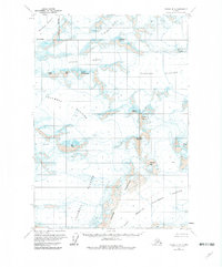
1960 Map of Valdez B-8
USGS Topo · Published 1982About this map
Tazlina Glacier and the Columbia Glacier dominate this high-altitude landscape within the Matanuska-Susitna Borough, captured during the mid-century surveying era. The topography is defined by massive ice fields and the peaks that emerge from them, including Mount Haley, Audubon Mountain, and the curiously named Brontosaurus Mountain.
Find a feature on this map
19 named features on this map. Tap any name to fly to it.
Don’t see what you’re looking for? This feature index may not catch every label — zoom into the map to look around manually.
Map Details
Editions of this 1960 Valdez B-8 Map
2 editions found
Other maps of this area

1951 · Anchorage
USGS Topo · 1:250,000

1952 · Valdez
USGS Topo · 1:250,000

1960 · Valdez A-8
USGS Topo · 1:63,360

1960 · Anchorage A-1
USGS Topo · 1:63,360

1960 · Valdez B-7
USGS Topo · 1:63,360

1960 · Valdez C-7
USGS Topo · 1:63,360

1960 · Anchorage B-1
USGS Topo · 1:63,360

1960 · Valdez B-8
USGS Topo · 1:63,360

1960 · Valdez C-8
USGS Topo · 1:63,360

1960 · Valdez A-7
USGS Topo · 1:63,360