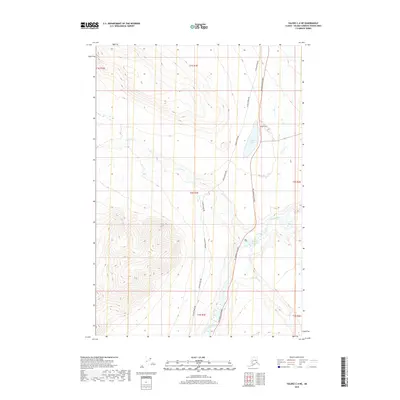
2019 Map of Valdez C-4 NE
USGS Topo · Published 2019About this map
The Alaska Pipeline dominates this modern topographical survey as it runs parallel to the Richardson Highway, carving a clear industrial path through the interior Alaskan wilderness near Tonsina. This alignment highlights the state's critical infrastructure corridor, where the pipeline and highway share the valley floor between steep elevations. Waterways like the Tonsina River and its tributaries, including Squirrel Cr and Bernard Cr, define the drainage patterns of the area. Notable local landmarks include Pippin Lake and the smaller Squirrel Cr Pit Lake, which sits tucked between the highway and the riverbank. Local access is represented by Tower Road, providing a localized view of the transport and utility network in the Copper River region during the early 21st century.
Find a feature on this map
14 named features on this map. Tap any name to fly to it.
Don’t see what you’re looking for? This feature index may not catch every label — zoom into the map to look around manually.
Map Details
Editions of this 2019 Valdez C-4 NE Map
This is the sole edition of this map. No revisions or reprints were ever made.
Other maps of this area
1949 · Valdez D-4
USGS Topo · 1:63,360
1951 · Valdez C-3
USGS Topo · 1:63,360
1951 · Valdez C-4
USGS Topo · 1:63,360
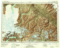
1952 · Valdez
USGS Topo · 1:250,000
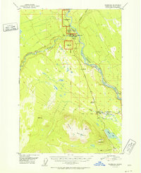
1952 · Valdez D-4
USGS Topo · 1:63,360
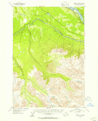
1953 · Valdez C-3
USGS Topo · 1:63,360
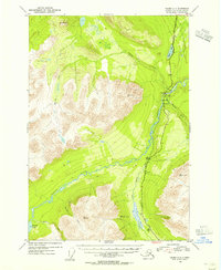
1953 · Valdez C-4
USGS Topo · 1:63,360
1958 · Valdez D-3
USGS Topo · 1:63,360
1960 · Valdez
USGS Topo · 1:250,000
1996 · Valdez C-4
USGS Topo · 1:63,360