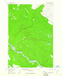
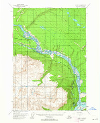
1958 Map of Valdez D-3
USGS Topo · Published 1960About this map
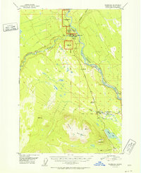
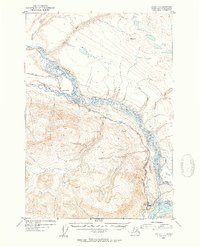
The Copper River dominates this interior Alaskan landscape, shown here as a wide, braided waterway winding through the southern half of the quadrangle. In the late 1950s, the Edgerton Highway provided the primary terrestrial corridor through this region, running southwest of the river near Willow Creek. The terrain is defined by the convergence of major glacial runoff, with the Nadina River and Dadina River carving deep valleys through the northern forest and muskeg before joining the main river system. Near the eastern edge, Dadina Lake sits in a high basin under the shadow of VABM 2340 Dadina, a primary geodetic control point used during the photogrammetric mapping of this territory. This survey captures the region's geography just as the Copper River Base Line established the formal surveying grid for future land claims and resource management in the Copper River Valley.
Find a feature on this map
10 named features on this map. Tap any name to fly to it.
Don’t see what you’re looking for? This feature index may not catch every label — zoom into the map to look around manually.
Map Details
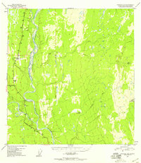
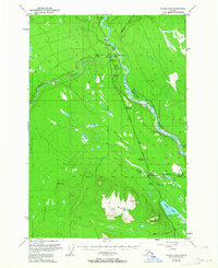
Editions of this 1958 Valdez D-3 Map
2 editions found

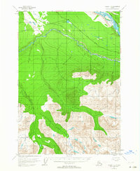
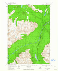
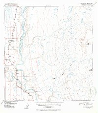
Other maps of this area
1949 · Gulkana A-3
USGS Topo · 1:63,360
1949 · Valdez D-4
USGS Topo · 1:63,360
1951 · Gulkana
USGS Topo · 1:250,000
1951 · Valdez C-2
USGS Topo · 1:63,360
1951 · Valdez C-3
USGS Topo · 1:63,360
1951 · Valdez C-4
USGS Topo · 1:63,360
1952 · Gulkana A-3
USGS Topo · 1:63,360

1952 · Valdez
USGS Topo · 1:250,000
1952 · Valdez D-4
USGS Topo · 1:63,360
1953 · Valdez C-2
USGS Topo · 1:63,360