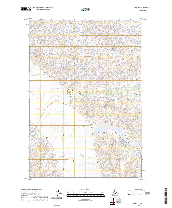
2023 Map of Valdez C-8 NW
USGS Topo · Published 2023About this map
The high-altitude drainage of Barnette Creek serves as a primary geographic focus in this interior Alaskan landscape. This survey delineates the remote borderlands between Copper River Co and Matanuska-Susitna Co, offering a look at a wilderness area defined by complex elevation contours rather than human settlements. The lack of roads or established townships reflects the extreme topography and preservation of the natural environment, where the land is primarily organized by the Public Land Survey System grids, such as t1s r10w and t2s r9w. For those researching land management or environmental history in this part of Alaska, the map provides precise data on the watershed patterns and glacial-carved terrain during the early twenty-first century.
Find a feature on this map
8 named features on this map. Tap any name to fly to it.
Don’t see what you’re looking for? This feature index may not catch every label — zoom into the map to look around manually.
Map Details
Editions of this 2023 Valdez C-8 NW Map
This is the sole edition of this map. No revisions or reprints were ever made.
Other maps of this area

1948 · Anchorage D-1
USGS Topo · 1:63,360

1949 · Valdez D-8
USGS Topo · 1:63,360

1951 · Anchorage
USGS Topo · 1:250,000

1951 · Anchorage D-1
USGS Topo · 1:63,360

1952 · Valdez D-8
USGS Topo · 1:63,360

1952 · Valdez
USGS Topo · 1:250,000

1960 · Valdez C-8
USGS Topo · 1:63,360

1960 · Anchorage C-1
USGS Topo · 1:63,360

1960 · Valdez
USGS Topo · 1:250,000

1962 · Anchorage
USGS Topo · 1:250,000