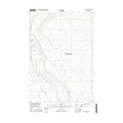
2016 Map of Valdez D-4 NE
USGS Topo · Published 2016About this map
Copper Center serves as a critical focal point in the Copper River basin, where the confluence of several major waterways dictated the local geography and transport corridors. The path of the Richardson Highway and the Alaska Pipeline parallel each other through this area, tracing the north-south transit route that has connected the interior to the coast for decades. Modern infrastructure like the Copper Center 2 Airport exists alongside older road remnants, such as the Old Rich. @ Copper Center, highlighting the evolution of regional travel.
Find a feature on this map
14 named features on this map. Tap any name to fly to it.
Don’t see what you’re looking for? This feature index may not catch every label — zoom into the map to look around manually.
Map Details
Editions of this 2016 Valdez D-4 NE Map
This is the sole edition of this map. No revisions or reprints were ever made.
Other maps of this area

1949 · Gulkana A-3
USGS Topo · 1:63,360

1949 · Valdez D-4
USGS Topo · 1:63,360

1951 · Gulkana
USGS Topo · 1:250,000

1952 · Gulkana A-3
USGS Topo · 1:63,360

1952 · Valdez
USGS Topo · 1:250,000

1952 · Valdez D-4
USGS Topo · 1:63,360

1958 · Valdez D-3
USGS Topo · 1:63,360

1959 · Gulkana
USGS Topo · 1:250,000

1960 · Valdez
USGS Topo · 1:250,000

1965 · Gulkana
USGS Topo · 1:250,000