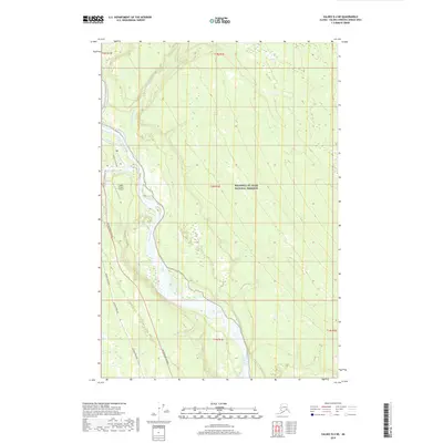
2019 Map of Valdez D-4 NE
USGS Topo · Published 2019About this map
The Copper River and its major tributaries dominate this landscape on the doorstep of the Wrangell-St. Elias National Preserve. Near the historic confluence of the Klutina River and the Copper, the infrastructure of the Copper River Valley is on clear display, including the Copper Center Loop and the Old Rich @ Copper Center road alignments. This area represents a critical transport and utility corridor where the Alaska Pipeline and the Richardson Highway run parallel to the glacial waters. Aviation access is noted at the Copper Center 2 Airport, while the northern reach of the map follows the braided channels of the Klawasi River and the smaller Yetna Cr. The survey illustrates the intersection of modern energy infrastructure with a powerful river system and protected wilderness lands.
Find a feature on this map
15 named features on this map. Tap any name to fly to it.
Don’t see what you’re looking for? This feature index may not catch every label — zoom into the map to look around manually.
Map Details
Editions of this 2019 Valdez D-4 NE Map
This is the sole edition of this map. No revisions or reprints were ever made.
Other maps of this area
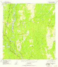
1949 · Gulkana A-3
USGS Topo · 1:63,360
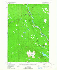
1949 · Valdez D-4
USGS Topo · 1:63,360
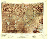
1951 · Gulkana
USGS Topo · 1:250,000
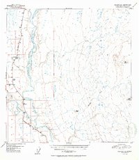
1952 · Gulkana A-3
USGS Topo · 1:63,360
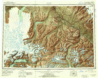
1952 · Valdez
USGS Topo · 1:250,000
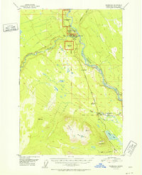
1952 · Valdez D-4
USGS Topo · 1:63,360
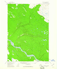
1958 · Valdez D-3
USGS Topo · 1:63,360
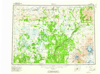
1959 · Gulkana
USGS Topo · 1:250,000
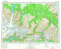
1960 · Valdez
USGS Topo · 1:250,000
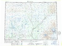
1965 · Gulkana
USGS Topo · 1:250,000