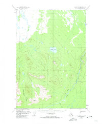
1948 Map of Valdez D-5
USGS Topo · Published 1974About this map
Klutina River dominates the southeastern quadrant of this terrain study, carving a deep path through The Gorge as it flows toward the Copper River system. The landscape is defined by the high elevations of the Chugach Mountains, anchored by Mt Carter, Sunny Peak, and Dowling Peak. These summits rise above the Chullikana Ottawa Creek Valley, illustrating the glacial and fluvial forces that shaped the Copper River Basin's periphery.
Find a feature on this map
13 named features on this map. Tap any name to fly to it.
Don’t see what you’re looking for? This feature index may not catch every label — zoom into the map to look around manually.
Map Details
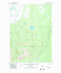
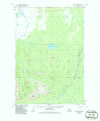
Editions of this 1948 Valdez D-5 Map
4 editions found
Other maps of this area

1948 · Valdez D-5
USGS Topo · 1:63,360

1949 · Gulkana A-3
USGS Topo · 1:63,360

1949 · Valdez D-4
USGS Topo · 1:63,360

1949 · Valdez D-6
USGS Topo · 1:63,360

1950 · Valdez C-6
USGS Topo · 1:63,360

1951 · Valdez D-5
USGS Topo · 1:63,360

1951 · Gulkana
USGS Topo · 1:250,000

1951 · Valdez D-6
USGS Topo · 1:63,360

1951 · Gulkana A-4
USGS Topo · 1:63,360

1951 · Valdez C-4
USGS Topo · 1:63,360