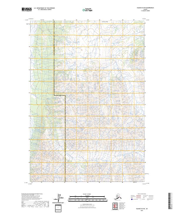
2023 Map of Valdez D-8 SW
USGS Topo · Published 2023About this map
Heavenly Ridge dominates the northern horizon of this high-elevation terrain where the jurisdictional lines of Matanuska-Susitna Co and Copper River Co meet. The landscape is defined by its complex drainage systems, characterized by the branching headwaters of Bottley Creek and the southern reaches of Barnette Creek. This 2023 edition highlights a remote wilderness area where natural landmarks like Nelchina Bench Lake are the primary points of orientation. The intricate contour lines illustrate a region of significant elevation changes and deep valleys, lacking any established road networks or permanent human settlements. The map serves as a detailed record of this borderland, where hydrological patterns dictate the geography of the high country.
Find a feature on this map
9 named features on this map. Tap any name to fly to it.
Don’t see what you’re looking for? This feature index may not catch every label — zoom into the map to look around manually.
Map Details
Editions of this 2023 Valdez D-8 SW Map
This is the sole edition of this map. No revisions or reprints were ever made.
Other maps of this area

1948 · Anchorage D-1
USGS Topo · 1:63,360

1949 · Valdez D-8
USGS Topo · 1:63,360

1951 · Anchorage
USGS Topo · 1:250,000

1951 · Anchorage D-1
USGS Topo · 1:63,360

1952 · Valdez D-8
USGS Topo · 1:63,360

1952 · Valdez
USGS Topo · 1:250,000

1960 · Valdez C-8
USGS Topo · 1:63,360

1960 · Anchorage C-1
USGS Topo · 1:63,360

1960 · Valdez
USGS Topo · 1:250,000

1962 · Anchorage
USGS Topo · 1:250,000