
1949 Map of Valdez D-8
USGS Topo · Published 1964About this map
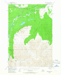
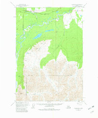
The Glenn Highway traces the northern edge of this Alaskan landscape, providing a vital transportation corridor through the wilderness shortly after the war. This survey captures the region just as photogrammetric methods began to provide a more precise view of the complex hydrology and terrain, centered around the Nelchina River and its tributary, the Little Nelchina River. The map reveals a transition from the lower river valleys to the high elevations of Heavenly Ridge, where peaks like VABM 4812 Shale and VABM 4367 Lina overlook the remote Nelchina Bench Lake.
Find a feature on this map
22 named features on this map. Tap any name to fly to it.
Don’t see what you’re looking for? This feature index may not catch every label — zoom into the map to look around manually.
Map Details
Editions of this 1949 Valdez D-8 Map
3 editions found
Other maps of this area

1948 · Anchorage D-1
USGS Topo · 1:63,360

1949 · Talkeetna Mountains A-1
USGS Topo · 1:63,360

1949 · Gulkana A-6
USGS Topo · 1:63,360

1949 · Valdez D-7
USGS Topo · 1:63,360

1950 · Talkeetna Mountains
USGS Topo · 1:250,000

1951 · Gulkana
USGS Topo · 1:250,000

1951 · Valdez D-7
USGS Topo · 1:63,360

1951 · Anchorage
USGS Topo · 1:250,000

1951 · Anchorage D-1
USGS Topo · 1:63,360

1952 · Valdez D-8
USGS Topo · 1:63,360