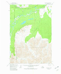
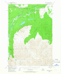
1949 Map of Valdez D-8
USGS Topo · Published 1982About this map
Glenn Highway traces the northern corridor of this landscape, providing a critical transportation link through the Matanuska-Susitna Borough in the late 1940s. The terrain is dominated by the massive rise of Heavenly Ridge, which separates the braided channels of the Nelchina River and Little Nelchina River from the southern drainages of Bottle Creek and Barnette Creek. This area illustrates a mid-century frontier environment where human presence is sparse, marked only by a lone Cabin and a roadside Campground.
Find a feature on this map
28 named features on this map. Tap any name to fly to it.
Don’t see what you’re looking for? This feature index may not catch every label — zoom into the map to look around manually.
Map Details
Editions of this 1949 Valdez D-8 Map
3 editions found
Other maps of this area

1948 · Anchorage D-1
USGS Topo · 1:63,360

1949 · Talkeetna Mountains A-1
USGS Topo · 1:63,360

1949 · Gulkana A-6
USGS Topo · 1:63,360

1949 · Valdez D-8
USGS Topo · 1:63,360

1949 · Valdez D-7
USGS Topo · 1:63,360

1950 · Talkeetna Mountains
USGS Topo · 1:250,000

1951 · Gulkana
USGS Topo · 1:250,000

1951 · Valdez D-7
USGS Topo · 1:63,360

1951 · Anchorage
USGS Topo · 1:250,000

1951 · Anchorage D-1
USGS Topo · 1:63,360