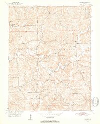
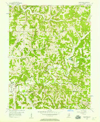
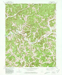
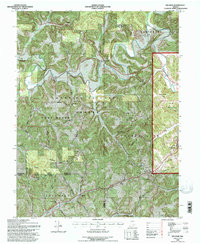
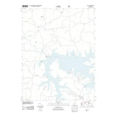
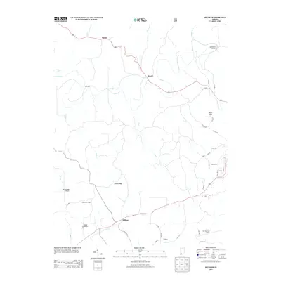
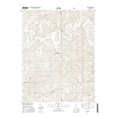
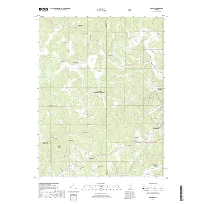
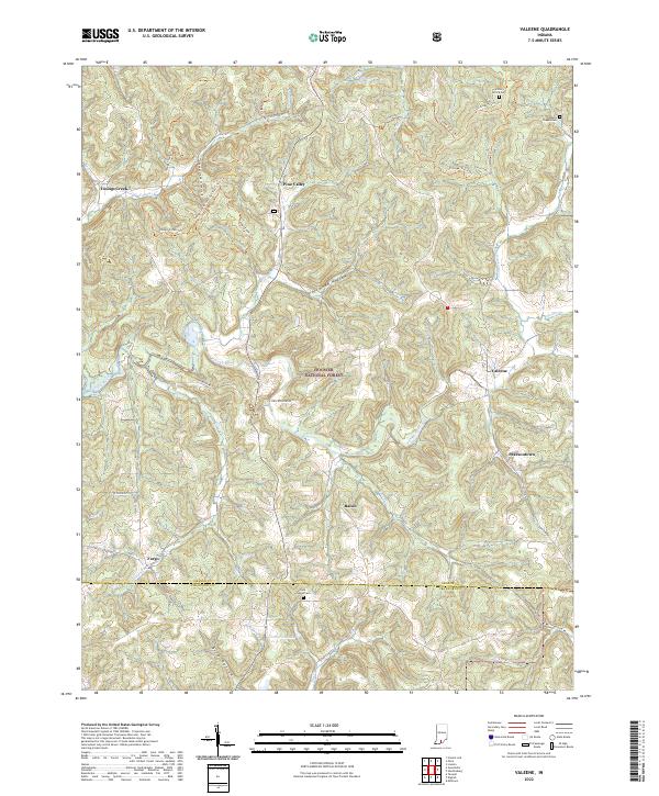
1950 Map of Valeene
USGS Topo · Published 1952About this map
The Patoka River winds through the heart of the Hoosier National Forest in this mid-century topographic record of southern Indiana. The settlement of Valeene serves as a local hub near School No 7, while the smaller community of Fargo sits to the southwest. The landscape is defined by its social and educational infrastructure, featuring numerous rural schools like Pearsontown Sch and Apple Sch, and country churches including Bacon Ch and Concord Ch.
Find a feature on this map
38 named features on this map. Tap any name to fly to it.
Don’t see what you’re looking for? This feature index may not catch every label — zoom into the map to look around manually.
Map Details
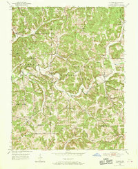
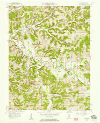
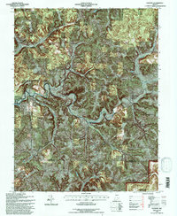
Editions of this 1950 Valeene Map
3 editions found
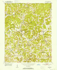
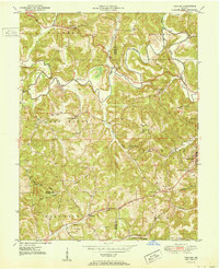
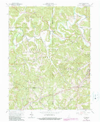
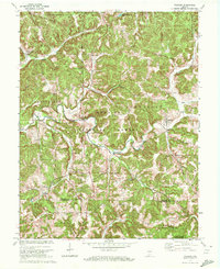
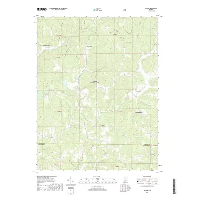
Historical Maps of Pearsontown Through Time
32 maps found
1950 Valeene
Orange County, IN
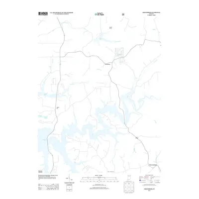
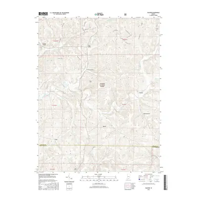
1951 Hillham
Orange County, IN
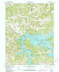
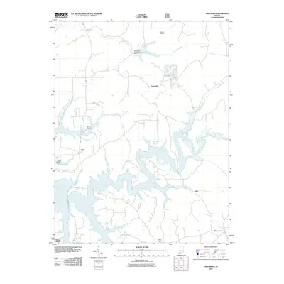
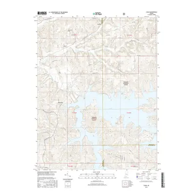
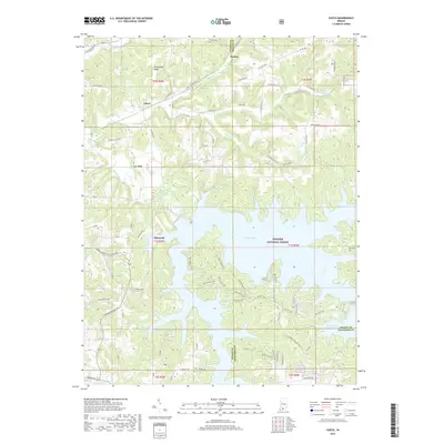
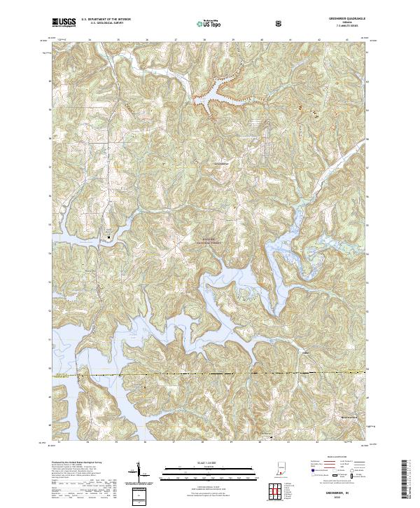
1956 Greenbrier
Orange County, IN
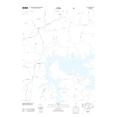
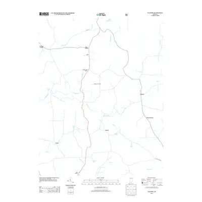
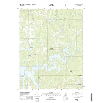
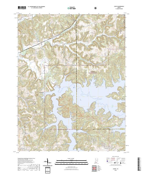
1957 Cuzco
Orange County, IN
1965 Hillham
Orange County, IN
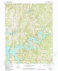
1970 Valeene
Orange County, IN
1979 Valeene
Orange County, IN
1980 Cuzco
Orange County, IN
1980 Greenbrier
Orange County, IN
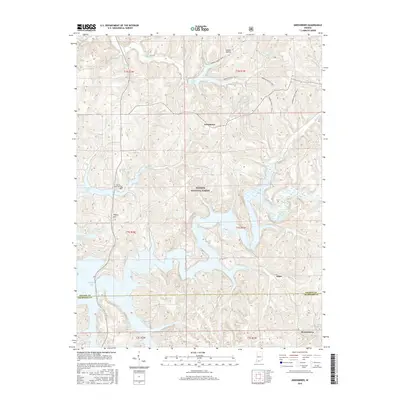
1993 Greenbrier
Orange County, IN
1993 Hillham
Orange County, IN
1993 Valeene
Orange County, IN
2010 Hillham
Orange County, IN
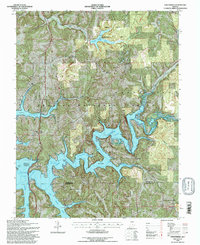
2010 Valeene
Orange County, IN
2011 Cuzco
Orange County, IN
2011 Greenbrier
Orange County, IN
2013 Cuzco
Orange County, IN
2013 Greenbrier
Orange County, IN
2013 Hillham
Orange County, IN
2013 Valeene
Orange County, IN
2016 Cuzco
Orange County, IN
2016 Greenbrier
Orange County, IN
2016 Hillham
Orange County, IN
2016 Valeene
Orange County, IN
2019 Cuzco
Orange County, IN
2019 Greenbrier
Orange County, IN
2019 Hillham
Orange County, IN
2019 Valeene
Orange County, IN
2022 Cuzco
Orange County, IN
2022 Greenbrier
Orange County, IN
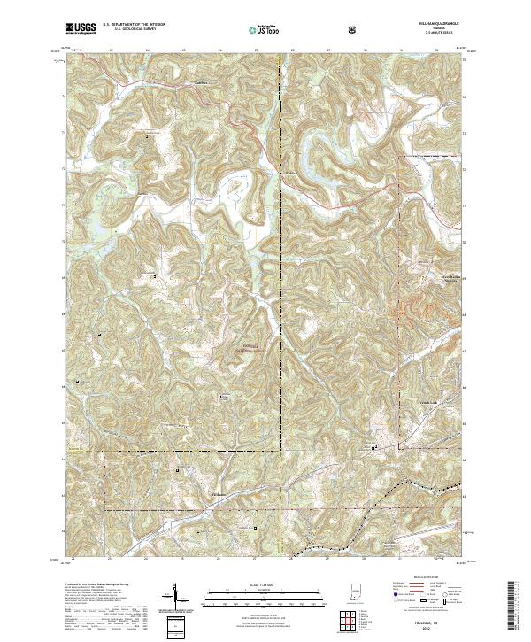
2022 Hillham
Orange County, IN
2022 Valeene
Orange County, IN