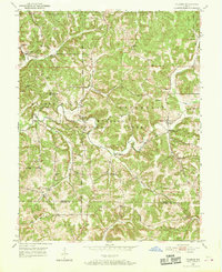
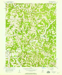
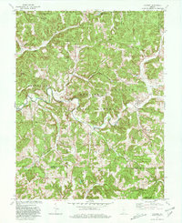
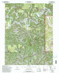
1950 Map of Valeene
USGS Topo · Published 1952This historical map portrays the area of Valeene in 1950, primarily covering Orange County as well as portions of Crawford County. Featuring a scale of 1:24000, this map provides a highly detailed snapshot of the terrain, roads, buildings, counties, and historical landmarks in the Valeene region at the time. Published in 1952, it is one of 3 known editions of this map due to revisions or reprints.
Find a feature on this map
40 named features on this map. Tap any name to fly to it.
Don’t see what you’re looking for? This feature index may not catch every label — zoom into the map to look around manually.
Map Details
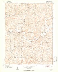
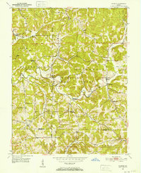
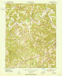
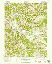
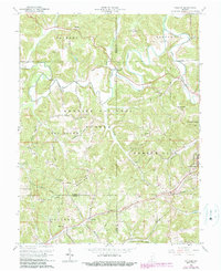
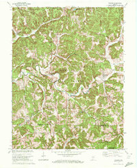
Editions of this 1950 Valeene Map
3 editions found
Historical Maps of Bacon Through Time
12 maps found
1950 Valeene
Orange County, IN
1951 Hillham
Orange County, IN
1956 Greenbrier
Orange County, IN
1957 Cuzco
Orange County, IN
1965 Hillham
Orange County, IN
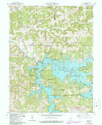
1970 Valeene
Orange County, IN
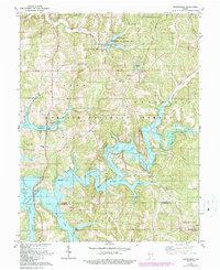
1979 Valeene
Orange County, IN
1980 Cuzco
Orange County, IN
1980 Greenbrier
Orange County, IN
1993 Greenbrier
Orange County, IN
1993 Hillham
Orange County, IN
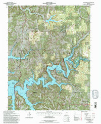
1993 Valeene
Orange County, IN