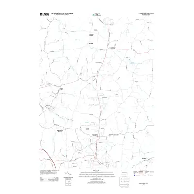
2013 Map of Valencia
USGS Topo · Published 2013About this map
The borough of Valencia and the adjacent settlement of Gibsonia anchor the southern reach of this Butler County landscape, where the suburban growth of the Pittsburgh metropolitan area meets more rural topography. Historically significant nodes like Glade Mills, Hays Mill, and Strables Corners indicate a heritage of small-scale industry and milling along the region's many waterways. The terrain is defined by the drainage of Glade Run and its eponymous Glade Run Lake, alongside the southern flows of Willow Run and W Br Deer Cr.
Find a feature on this map
145 named features on this map. Tap any name to fly to it.
Don’t see what you’re looking for? This feature index may not catch every label — zoom into the map to look around manually.
Map Details
Editions of this 2013 Valencia Map
This is the sole edition of this map. No revisions or reprints were ever made.
Other maps of this area

1906 · Sewickley
USGS Topo · 1:62,500

1908 · Sewickley
USGS Topo · 1:62,500

1908 · New Kensington
USGS Topo · 1:62,500

1908 · Zelienople
USGS Topo · 1:62,500

1909 · Butler
USGS Topo · 1:62,500

1910 · New Kensington
USGS Topo · 1:62,500

1910 · Zelienople
USGS Topo · 1:62,500

1911 · Butler
USGS Topo · 1:62,500

1950 · Valencia
USGS Topo · 1:24,000

1951 · Canton
USGS Topo · 1:250,000
Featured Places
- Clinton Township, PA
- Bairdford, West Deer Township
- Valencia, PA
- Penn Township, PA
- Middlesex Township, PA