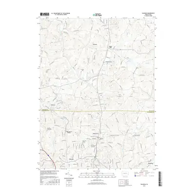
2016 Map of Valencia
USGS Topo · Published 2016About this map
The rolling landscape along the border of Butler Co and Allegheny Co is defined by a series of residential clusters and historical cemeteries. In the southern portion of the sheet, Bakerstown and Bakerstown Station serve as central points of interest, accompanied by several local burial grounds including the Bakerstown Presbyterian Cem and the Bakerstown Cem Company. Further south in Gibsonia, the Saint Thomas In the Fields Columbarium and Poale Zedeck Memorial Park Cem highlight the area's significance for genealogical research.
Find a feature on this map
153 named features on this map. Tap any name to fly to it.
Don’t see what you’re looking for? This feature index may not catch every label — zoom into the map to look around manually.
Map Details
Editions of this 2016 Valencia Map
This is the sole edition of this map. No revisions or reprints were ever made.
Other maps of this area

1906 · Sewickley
USGS Topo · 1:62,500

1908 · Sewickley
USGS Topo · 1:62,500

1908 · New Kensington
USGS Topo · 1:62,500

1908 · Zelienople
USGS Topo · 1:62,500

1909 · Butler
USGS Topo · 1:62,500

1910 · New Kensington
USGS Topo · 1:62,500

1910 · Zelienople
USGS Topo · 1:62,500

1911 · Butler
USGS Topo · 1:62,500

1950 · Valencia
USGS Topo · 1:24,000

1951 · Canton
USGS Topo · 1:250,000
Featured Places
- Clinton Township, PA
- Bairdford, West Deer Township
- Valencia, PA
- Penn Township, PA
- Middlesex Township, PA