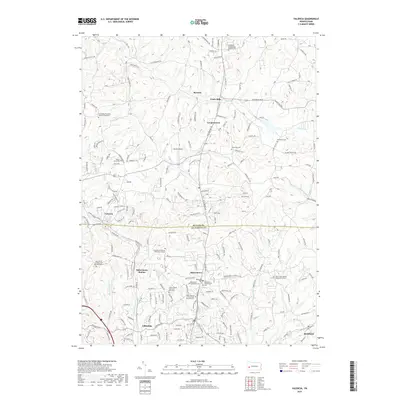
2019 Map of Valencia
USGS Topo · Published 2019About this map
Bakerstown and Valencia anchor this detailed study of the rolling borderlands between Butler and Allegheny Counties. The landscape is defined by its deep spiritual and communal roots, evidenced by the high concentration of historic burial grounds such as the Holy Savior Catholic Cem and Mausoleum and the Bakerstown Presbyterian Cem. These sites, along with the Methodist Cem and Poale Zedeck Memorial Park Cem, indicate a long-established pattern of settlement concentrated around the old crossroads and rail stops like Bakerstown Station.
Find a feature on this map
183 named features on this map. Tap any name to fly to it.
Don’t see what you’re looking for? This feature index may not catch every label — zoom into the map to look around manually.
Map Details
Editions of this 2019 Valencia Map
This is the sole edition of this map. No revisions or reprints were ever made.
Other maps of this area

1906 · Sewickley
USGS Topo · 1:62,500

1908 · Sewickley
USGS Topo · 1:62,500

1908 · New Kensington
USGS Topo · 1:62,500

1908 · Zelienople
USGS Topo · 1:62,500

1909 · Butler
USGS Topo · 1:62,500

1910 · New Kensington
USGS Topo · 1:62,500

1910 · Zelienople
USGS Topo · 1:62,500

1911 · Butler
USGS Topo · 1:62,500

1950 · Valencia
USGS Topo · 1:24,000

1951 · Canton
USGS Topo · 1:250,000
Featured Places
- Clinton Township, PA
- Bairdford, West Deer Township
- Valencia, PA
- Penn Township, PA
- Middlesex Township, PA