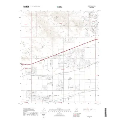
2018 Map of Valencia
USGS Topo · Published 2018About this map
The White Tank Mountains dominate the northern landscape of this Maricopa County area, where desert terrain meets the expanding residential grid of Buckeye. The map documents a critical intersection of natural drainage and human engineering, featuring prominent desert waterways like Tractor Wash and Bulldozer Wash alongside the infrastructure that made regional agriculture possible. Central to this landscape is the Roosevelt Irrigation District Canal and the Buckeye Canal, which cut horizontally across the quadrangle to define the limits of early 21st-century development. In the southern portion of the sheet, the settlement of Valencia is visible, while the Louis B Hazelton Memorial Cem serves as a significant local landmark for genealogists and local historians. The transition from the steep contours of the mountains to the precisely gridded street network reflects the modern growth patterns of the Phoenix metropolitan fringe.
Find a feature on this map
50 named features on this map. Tap any name to fly to it.
Don’t see what you’re looking for? This feature index may not catch every label — zoom into the map to look around manually.
Map Details
Editions of this 2018 Valencia Map
This is the sole edition of this map. No revisions or reprints were ever made.
Other maps of this area

1946 · Avondale
USGS Topo · 1:62,500

1948 · Cashion
USGS Topo · 1:62,500

1954 · Phoenix
USGS Topo · 1:250,000

1957 · Phoenix
USGS Topo · 1:250,000

1957 · White Tank Mts. SE
USGS Topo · 1:24,000

1957 · Valencia
USGS Topo · 1:24,000

1957 · Perryville
USGS Topo · 1:24,000

1957 · Waddell
USGS Topo · 1:24,000

1957 · Avondale SW
USGS Topo · 1:24,000

1957 · White Tank Mts.
USGS Topo · 1:62,500