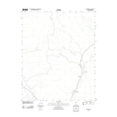
2011 Map of Valentine
USGS Topo · Published 2011About this map
Truxton Wash carves a critical path through this Mohave County landscape, anchoring the small settlements and water sources that have sustained life in this arid region. The community of Valentine sits near the base of the wash, characterized by its local infrastructure including the Valentine Post Office, which served as a focal point for the surrounding rural area. To the northwest, the settlement of Crozier and the nearby Hackberry area indicate the historical transit and trade corridors that follow the natural topography.
Find a feature on this map
17 named features on this map. Tap any name to fly to it.
Don’t see what you’re looking for? This feature index may not catch every label — zoom into the map to look around manually.
Map Details
Editions of this 2011 Valentine Map
This is the sole edition of this map. No revisions or reprints were ever made.
Other maps of this area

1886 · Diamond Creek
USGS Topo · 1:250,000

1892 · Diamond Creek
USGS Topo · 1:250,000

1948 · Williams
USGS Topo · 1:250,000

1954 · Williams
USGS Topo · 1:250,000

1956 · Williams
USGS Topo · 1:250,000

1960 · Williams
USGS Topo · 1:250,000

1961 · Williams
USGS Topo · 1:250,000
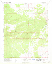
1967 · Milkweed Canyon SE
USGS Topo · 1:24,000

1967 · Milkweed Canyon SW
USGS Topo · 1:24,000
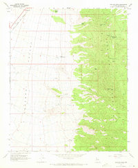
1968 · Peacock Peak
USGS Topo · 1:24,000