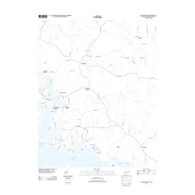
2013 Map of Valentines
USGS Topo · Published 2013About this map
Lake Gaston and the northern reaches of Roanoke Rapids Lake dominate the southern landscape of this 2013 survey, where the borders of Virginia and North Carolina meet. This region is characterized by a dense network of residential developments along the waterfront, including Pea Hill Shores, Southside Shores, and Hidden Acres. Further inland, the settlement pattern shifts to smaller rural junctions like Valentines and Bowens Corner, connected by roads that often follow the winding paths of local waterways like Beddingfield Cr and Rattlesnake Cr. The terrain rises toward Wilkins Hill near the southern shore, overlooking Baker Island. The map records a modern era of recreation and residential growth centered on these large reservoirs, contrasting with the older agricultural communities of Triplet and Vultare situated away from the water's edge.
Find a feature on this map
106 named features on this map. Tap any name to fly to it.
Don’t see what you’re looking for? This feature index may not catch every label — zoom into the map to look around manually.
Map Details
Editions of this 2013 Valentines Map
This is the sole edition of this map. No revisions or reprints were ever made.
Other maps of this area

1919 · White Plains
USGS Topo · 1:48,000

1919 · Emporia
USGS Topo · 1:62,500

1920 · White Plains
USGS Topo · 1:62,500

1942 · Emporia
USGS Topo · 1:62,500

1953 · Norfolk
USGS Topo · 1:250,000

1963 · Powellton
USGS Topo · 1:24,000

1963 · Barley
USGS Topo · 1:24,000

1963 · Gasburg
USGS Topo · 1:24,000

1963 · Ante
USGS Topo · 1:24,000

1963 · Valentines
USGS Topo · 1:24,000