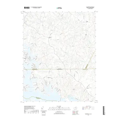
2019 Map of Valentines
USGS Topo · Published 2019About this map
Lake Gaston and Roanoke Rapids Lake dominate the southern portion of this region, where the state line divides Northampton County, North Carolina, from Brunswick County, Virginia. The landscape is defined by the fingers of the reservoir reaching into several drainages, including Black Gut Cr and Jimmies Cr. Small settlements such as Valentines, Gasburg, and Henrico serve as local hubs for the surrounding rural road network.
Find a feature on this map
96 named features on this map. Tap any name to fly to it.
Don’t see what you’re looking for? This feature index may not catch every label — zoom into the map to look around manually.
Map Details
Editions of this 2019 Valentines Map
This is the sole edition of this map. No revisions or reprints were ever made.
Other maps of this area

1919 · White Plains
USGS Topo · 1:48,000

1919 · Emporia
USGS Topo · 1:62,500

1920 · White Plains
USGS Topo · 1:62,500

1942 · Emporia
USGS Topo · 1:62,500

1953 · Norfolk
USGS Topo · 1:250,000

1963 · Powellton
USGS Topo · 1:24,000

1963 · Barley
USGS Topo · 1:24,000

1963 · Gasburg
USGS Topo · 1:24,000

1963 · Ante
USGS Topo · 1:24,000

1963 · Valentines
USGS Topo · 1:24,000