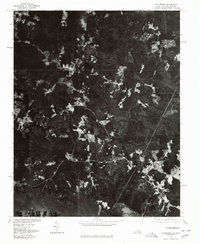
1976 Map of Valentines
USGS Topo · Published 1979About this map
Lake Gaston dominates the southern reaches of this 1970s orthophotograph, where the impounded waters of the Roanoke River stretch across the Virginia and North Carolina border. This specific imagery was captured in late 1976, providing a high-contrast visual record of the timbered hills and scattered agricultural clearings that define the Brunswick County landscape. The small settlement of Valentines sits central to a network of rural roads, while Triplet occupies the northeastern corner of the quadrangle. The map also captures a portion of Roanoke Rapids Lake to the southeast. Unlike traditional line-drawn topographic maps, this orthophoto format reveals the exact density of forest cover and the precise boundaries of individual farm fields as they existed during this era of southern borderland development.
Find a feature on this map
5 named features on this map. Tap any name to fly to it.
Don’t see what you’re looking for? This feature index may not catch every label — zoom into the map to look around manually.
Map Details
Editions of this 1976 Valentines Map
This is the sole edition of this map. No revisions or reprints were ever made.
Other maps of this area

1919 · White Plains
USGS Topo · 1:48,000

1919 · Emporia
USGS Topo · 1:62,500

1920 · White Plains
USGS Topo · 1:62,500

1942 · Emporia
USGS Topo · 1:62,500

1953 · Norfolk
USGS Topo · 1:250,000

1963 · Powellton
USGS Topo · 1:24,000

1963 · Barley
USGS Topo · 1:24,000

1963 · Gasburg
USGS Topo · 1:24,000

1963 · Ante
USGS Topo · 1:24,000

1963 · Valentines
USGS Topo · 1:24,000