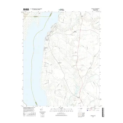
2016 Map of Valhalla
USGS Topo · Published 2016About this map
The Chowan River defines the western edge of this Chowan County coastal landscape, where the tidal water meets a network of swamps and low-lying agricultural land. The inland settlement of Valhalla serves as a central point for a region historically tied to the river and its tributaries, including Rockyhock Creek and the expansive Pollock Swamp. The geography is characterized by several millponds, such as Bennett Millpond and Dillard Millpond, which point to a history of water-powered industry in the rural Tidewater. A dense residential area along the riverfront features streets named for local and indigenous heritage, including Arrowhead Trl and Chowan Trl. Further inland, small crossroads communities like Rockyhock, Mavaton, and Cisco are connected by a network of rural routes such as Virginia Rd, while Lee's Airport and the Nixon Cem reflect the area's twentieth-century development and family history.
Find a feature on this map
74 named features on this map. Tap any name to fly to it.
Don’t see what you’re looking for? This feature index may not catch every label — zoom into the map to look around manually.
Map Details
Editions of this 2016 Valhalla Map
This is the sole edition of this map. No revisions or reprints were ever made.
Other maps of this area

1904 · Edenton
USGS Topo · 1:62,500

1906 · Beckford
USGS Topo · 1:48,000

1907 · Beckford
USGS Topo · 1:62,500

1908 · Winton
USGS Topo · 1:62,500

1940 · Beckford
USGS Topo · 1:62,500

1942 · Edenton
USGS Topo · 1:62,500

1943 · Edenton
USGS Topo · 1:62,500

1953 · Norfolk
USGS Topo · 1:250,000
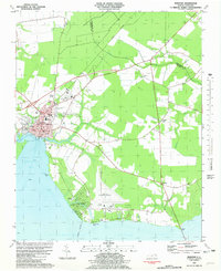
1981 · Edenton
USGS Topo · 1:24,000
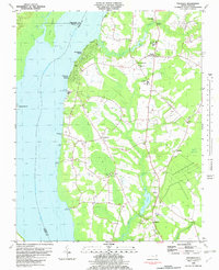
1982 · Valhalla
USGS Topo · 1:24,000