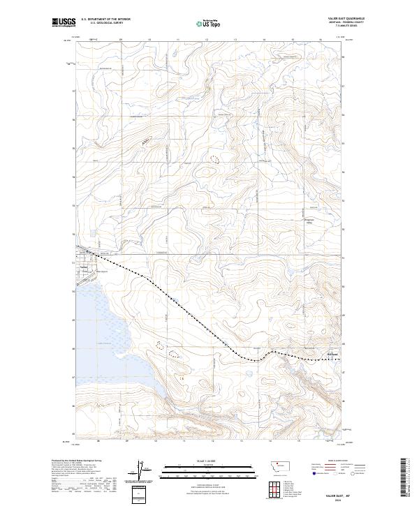
2024 Map of Valier East
USGS Topo · Published 2024About this map
Lake Frances anchors the southwestern corner of this Pondera County landscape, where the town of Valier sits at the intersection of local routes like Teton Rd and Conrad Rd. The terrain is defined by the sweeping descent of Winginaw Coulee and Winginaw Valley toward the southern plains, while the small settlement of Williams is situated near the southeastern edge of the map. This area shows a highly organized grid of rural infrastructure, including irrigation features like the C Canal and water sources such as Mattick Spring. Aviation history is noted by the presence of Valier Airport, while the southern reaches are drained by the Dry Fork Marias River. The network of section roads like Buena Vista Rd and Sullivan Bridge Rd illustrates the late-era agricultural parceling of the Montana High Plains.
Find a feature on this map
35 named features on this map. Tap any name to fly to it.
Don’t see what you’re looking for? This feature index may not catch every label — zoom into the map to look around manually.
Map Details
Editions of this 2024 Valier East Map
This is the sole edition of this map. No revisions or reprints were ever made.
Other maps of this area

1920 · Dupuyer
USGS Topo · 1:125,000

1934 · Lake Frances
USGS Topo · 1:48,000

1934 · Valier
USGS Topo · 1:62,500

1936 · Pendroy
USGS Topo · 1:48,000

1937 · Valier
USGS Topo · 1:62,500

1937 · Lake Frances
USGS Topo · 1:62,500

1938 · Gallup City
USGS Topo · 1:62,500

1941 · Pendroy
USGS Topo · 1:62,500

1942 · Gallup City
USGS Topo · 1:62,500

1960 · Cut Bank
USGS Topo · 1:250,000