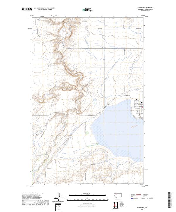
2024 Map of Valier West
USGS Topo · Published 2024About this map
The town of Valier sits on the eastern shore of Lake Frances, serving as a central hub for this high plains landscape defined by a sophisticated network of irrigation. Water management is the defining characteristic of the region, visible through an extensive system of man-made waterways including the A Canal, AN Two Canal, and B-Four Ditch, which redirect flow from natural sources like Birch Creek and Dupuyer Creek. This infrastructure underscores the agricultural legacy of Pondera County, where the terrain is further etched by features like Laughlin Coulee.
Find a feature on this map
44 named features on this map. Tap any name to fly to it.
Don’t see what you’re looking for? This feature index may not catch every label — zoom into the map to look around manually.
Map Details
Editions of this 2024 Valier West Map
This is the sole edition of this map. No revisions or reprints were ever made.
Other maps of this area

1920 · Dupuyer
USGS Topo · 1:125,000

1934 · Lake Frances
USGS Topo · 1:48,000

1934 · Valier
USGS Topo · 1:62,500

1936 · Pendroy
USGS Topo · 1:48,000

1937 · Valier
USGS Topo · 1:62,500

1937 · Lake Frances
USGS Topo · 1:62,500

1938 · Gallup City
USGS Topo · 1:62,500

1941 · Pendroy
USGS Topo · 1:62,500

1942 · Gallup City
USGS Topo · 1:62,500

1960 · Cut Bank
USGS Topo · 1:250,000