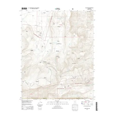
2013 Map of Vallecitos
USGS Topo · Published 2013About this map
The high canyons and mesas of Santa Fe National Forest define this terrain in Rio Arriba County, where the Rio Arriba and Sandoval county lines meet. The settlement of Vallecitos sits near the headwaters of Vallecitos Cr, surrounded by smaller hamlets like El Canoncito and Vallecitos Corrales. This high-altitude landscape is deeply etched by a network of drainages and canyons, including Oso Canyon and the expansive Santa Clara Canyon to the south. Historically significant landforms such as Lobato Mesa and Mesa de la Gallina dominate the central topography.
Find a feature on this map
62 named features on this map. Tap any name to fly to it.
Don’t see what you’re looking for? This feature index may not catch every label — zoom into the map to look around manually.
Map Details
Editions of this 2013 Vallecitos Map
This is the sole edition of this map. No revisions or reprints were ever made.
Other maps of this area

1892 · Santa Clara
USGS Topo · 1:125,000

1918 · Abiquiu
USGS Topo · 1:125,000

1952 · Valle Toledo
USGS Topo · 1:24,000

1952 · Puye
USGS Topo · 1:24,000

1952 · Guaje Mountain
USGS Topo · 1:24,000

1953 · Canones
USGS Topo · 1:24,000

1953 · Chili
USGS Topo · 1:24,000

1953 · Abiquiu
USGS Topo · 1:24,000

1953 · Medanales
USGS Topo · 1:24,000

1953 · Vallecitos
USGS Topo · 1:24,000