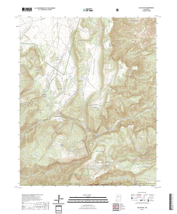
2023 Map of Vallecitos
USGS Topo · Published 2023About this map
Santa Fe National Forest encompasses the complex topography shown here, where the high desert meets the northern mountains. The landscape is defined by deep canyons and seasonal water sources, featuring numerous family-named landmarks and historical grazing areas such as Vallecitos Corrales and Los Cerritos. These settlements and corrals, along with La Joya Tio Gregorio, suggest a long history of traditional land use and livestock movement through the high mesas.
Find a feature on this map
53 named features on this map. Tap any name to fly to it.
Don’t see what you’re looking for? This feature index may not catch every label — zoom into the map to look around manually.
Map Details
Editions of this 2023 Vallecitos Map
This is the sole edition of this map. No revisions or reprints were ever made.
Other maps of this area

1892 · Santa Clara
USGS Topo · 1:125,000

1918 · Abiquiu
USGS Topo · 1:125,000

1952 · Valle Toledo
USGS Topo · 1:24,000

1952 · Puye
USGS Topo · 1:24,000

1952 · Guaje Mountain
USGS Topo · 1:24,000

1953 · Canones
USGS Topo · 1:24,000

1953 · Chili
USGS Topo · 1:24,000

1953 · Abiquiu
USGS Topo · 1:24,000

1953 · Medanales
USGS Topo · 1:24,000

1953 · Vallecitos
USGS Topo · 1:24,000