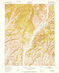
1948 Map of Valleton
USGS Topo · Published 1952About this map
Valleton stands as a small settlement within the southern reaches of Indian Valley, where the confluence of Big Sandy Creek and local canyon drainages defines the landscape. Situated in southern Monterey County, this area was mapped during the late 1940s by the Army Map Service and published for civil use, showing the interface between agricultural valley floors and the steep, rugged canyons of the Central Coast ranges. The southern portion of the map is dominated by the Camp Roberts Military Reservation, indicating the region's mid-century military significance. The terrain is characterized by a dense network of seasonal watercourses like Walters Canyon, Cañada Montuosa, and Walker Canyon. Numerous windmills are marked throughout the hills, signifying the reliance on groundwater for ranching and homesteading in this dry, dissected upland environment during the post-war era.
Find a feature on this map
14 named features on this map. Tap any name to fly to it.
Don’t see what you’re looking for? This feature index may not catch every label — zoom into the map to look around manually.
Map Details
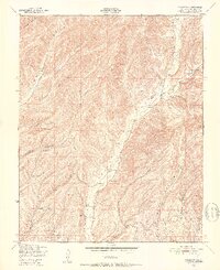
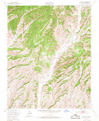
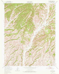
Editions of this 1948 Valleton Map
4 editions found
Other maps of this area

1915 · Priest Valley
USGS Topo · 1:125,000

1919 · San Miguel
USGS Topo · 1:62,500

1919 · Bradley
USGS Topo · 1:62,500

1941 · Priest Valley
USGS Topo · 1:62,500

1941 · San Ardo
USGS Topo · 1:62,500

1941 · Bradley
USGS Topo · 1:62,500

1943 · San Ardo
USGS Topo · 1:62,500

1944 · Priest Valley
USGS Topo · 1:62,500

1947 · San Luis Obispo
USGS Topo · 1:250,000

1947 · San Miguel
USGS Topo · 1:62,500