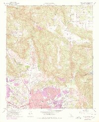
1968 Map of Valley Center
USGS Topo · Published 1978About this map
Escondido and the surrounding agricultural valleys are captured during a period of significant suburban expansion in northern San Diego County. The transition from rural ranching to residential development is evident in the purple-shaded revisions near Jesmond Dene and along Escondido Creek. Traditional landmarks like the Palomar Memorial Hospital and the Drive-in Theater sit alongside an extensive network of schools, including Orange Glen High Sch and Calvin Christian Sch. To the north, Valley Center retains its lower-density character, defined by large tracts like Old Castle Ranch and natural features such as Moosa Canyon. The map meticulously details the vital water infrastructure of the region, tracing the Aqueduct and numerous siphons and flumes that sustain the orchards between Burnt Mtn and Bear Ridge.
Find a feature on this map
66 named features on this map. Tap any name to fly to it.
Don’t see what you’re looking for? This feature index may not catch every label — zoom into the map to look around manually.
Map Details
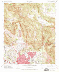
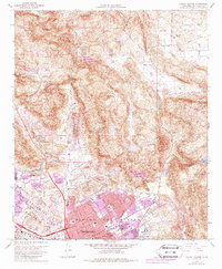
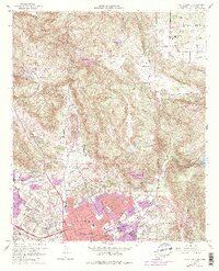
Editions of this 1968 Valley Center Map
4 editions found
Other maps of this area

1893 · Escondido
USGS Topo · 1:62,500

1901 · Escondido
USGS Topo · 1:62,500

1901 · San Luis Rey
USGS Topo · 1:125,000

1903 · Ramona
USGS Topo · 1:125,000

1904 · Southern California Sheet No. 2
USGS Topo · 1:250,000

1939 · Palomar Mountain
USGS Topo · 1:62,500

1942 · Temecula
USGS Topo · 1:62,500

1942 · Escondido
USGS Topo · 1:62,500

1942 · Ramona
USGS Topo · 1:62,500

1947 · Ramona
USGS Topo · 1:62,500